What is recorded here
Seven small pits, no wider than a man’s outstretched arms, hold charcoal flecks and cremated bone on a slight east-facing slope in Rathgaroge. They cluster within four metres, waiting beneath soil that roads and memory have repeatedly crossed. The dead did not need grandeur; they needed a margin large enough for seven vessels and a flame hot enough to turn bone to dust.
Located on a slight E-facing slope. Centre-line testing (E4067) in advance of the N25 New Ross by-pass identified a few discrete features that was set aside for resolution as Rathgaroge 2 (Doyle et al 2010, 42-3). When it was fully excavated (E004131) seven pits (dims 0.37-0.43m; D 4cm to 0.55-0.65m; D 0.13m), each with flecks of charcoal and two with visible cremated bone, were recorded in a concentrated area (dims 4m NE-SW; 2m NW-SE). (Hackett 2010, 7-8; Hackett 2013)
Compiled by: Michael Moore
Date of upload: 25 September, 2013
The monument record does not grant public access. Check the route and ask the landowner before entering private land.
- What survives
- Recorded monument
Places near here
 Site of R. C. ChapelChurch · 891 yd
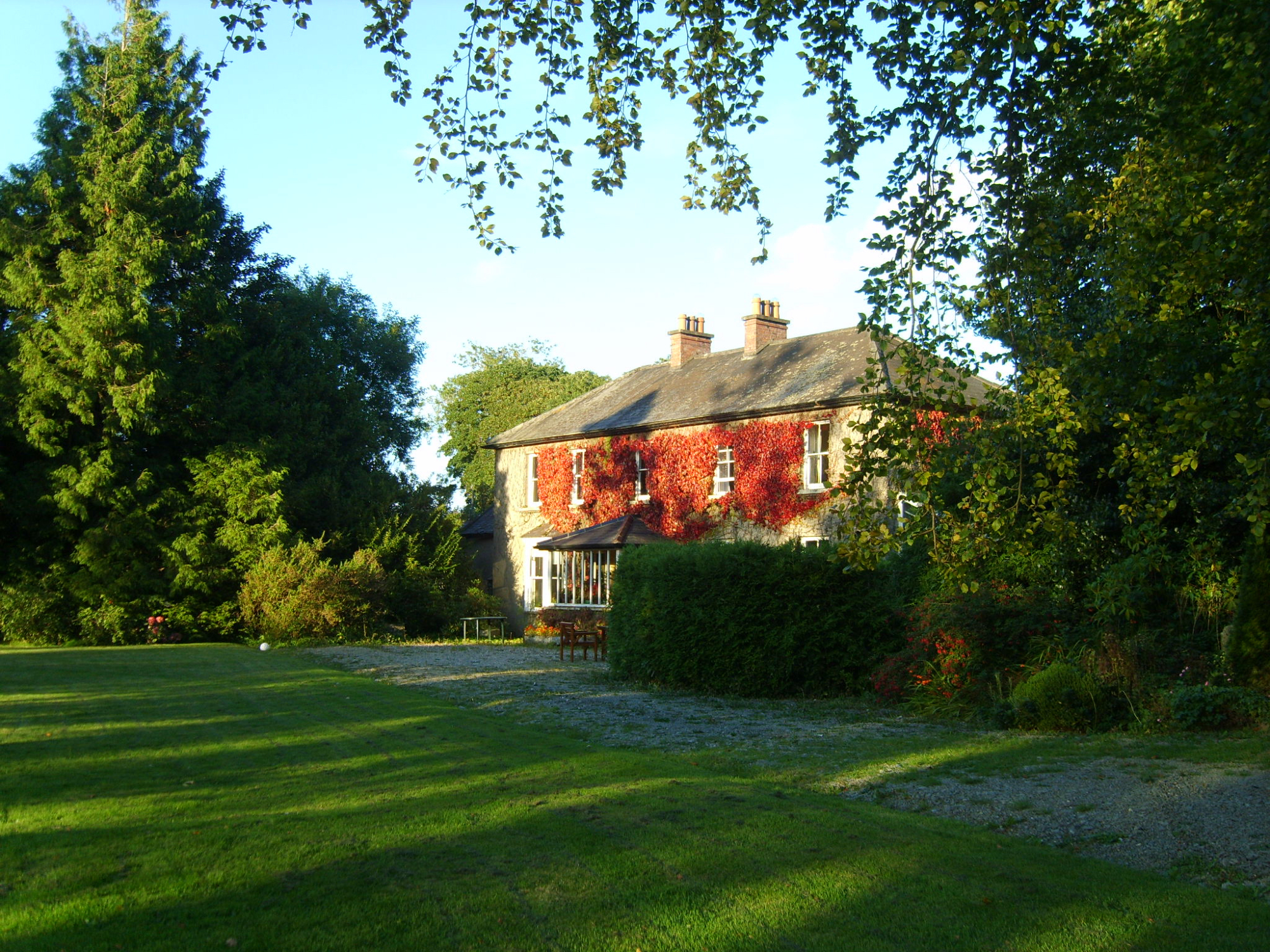 Knockroe Housefarm house · 1053 yd
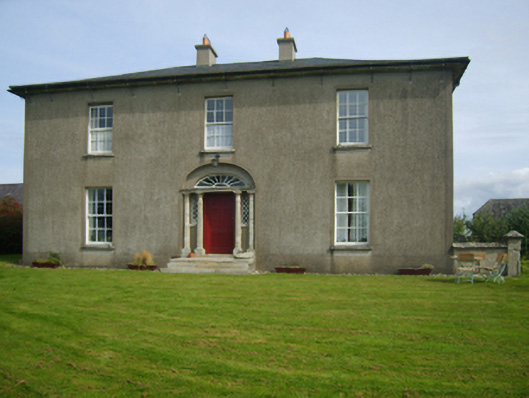 Sweetmount Housefarm house · 1276 yd
 Site of CastleCastle, unclassified · 1342 yd
 Embanked enclosureFairy fort / earthen ringfort · 1713 yd
 Castle (in ruins)Castle, unclassified · 1.4 mi
 Forest Of The DunbrodyForest · 1.8 mi
 Lacken HillMountain / peak · 2.0 mi
 Silver WattleSilver Wattle · 3.7 mi
 Crutched FriarsMemorial · 4.4 mi
 Carrickmastia HillMountain / peak · 4.4 mi
 Graveyard in St. Mullin'sGraveyard · 5.6 mi