What is recorded here
West summit, Martinstown esker, County Meath: men, a woman, a juvenile and an infant were buried in shallow pits with Food Vessel pottery, some bowls stood upright and one was closed with a stone. The graves were small enough to be missed, yet repeated along the ridge like a line of household choices. When digging opened them near 1949, the dead stopped being anonymous; they had eaten, carried, mournered and been remembered.
Located on an E-W esker ridge. The inhumation of an adult male aged between 50 and 60 accompanied by decorated Neolithic pottery was discovered in 1949 towards the W summit of the ridge (Hartnett 1951). In the following years further discoveries were made. Grave 1 is an oblong pit (dims 0.8m x 0.5m; D ) cut in the subsoil and contained the crouched inhumation of an adult male accompanied by a Food Vessel sherd and a stone pebble. Grave 2 was a pit that had collapsed before being properly investigated, but some bone representing an adult male, a juvenile and an infant were recovered. Grave 3 had also collapsed before investigation but had contained inhumed remains of an adult male, an adult female and an adolescent. A bowl Food Vessel was recovered. Grave 4 was in an intact pit (D 0.6m) and contained the inhumation of an adult male accompanied by an upright bowl Food Vessel of tripartite type with a stone over its mouth. Grave 5 was 8m W of Grave 4 and was also in an intact pit. It contained the crouched inhumation of a juvenile with an upright Bowl Food Vessel. (Cahill & Sikora 2011, vol. 1, 359-371)
Compiled by: Michael Moore
Revised date of upload: 21 August 2019
Neolithic passage tomb; dates to the 4th to 3rd millennium BCE. Its significance lies in the presence of decorated pottery and the burial of an adult male, indicating ritual practices and social structure of Neolithic communities in the region.
The monument record does not grant public access. Check the route and ask the landowner before entering private land.
- What survives
- Recorded monument
Places near here
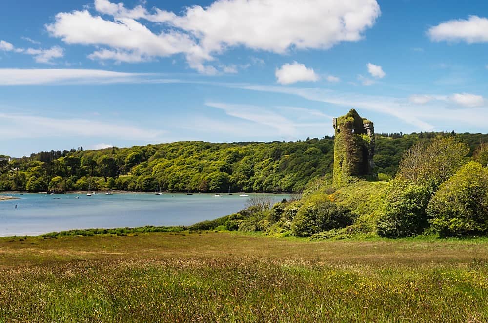 Walshs RaheenFairy fort / earthen ringfort · 1.1 mi
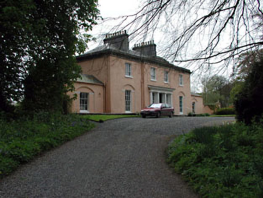 Galtrim Housecountry house · 1.2 mi
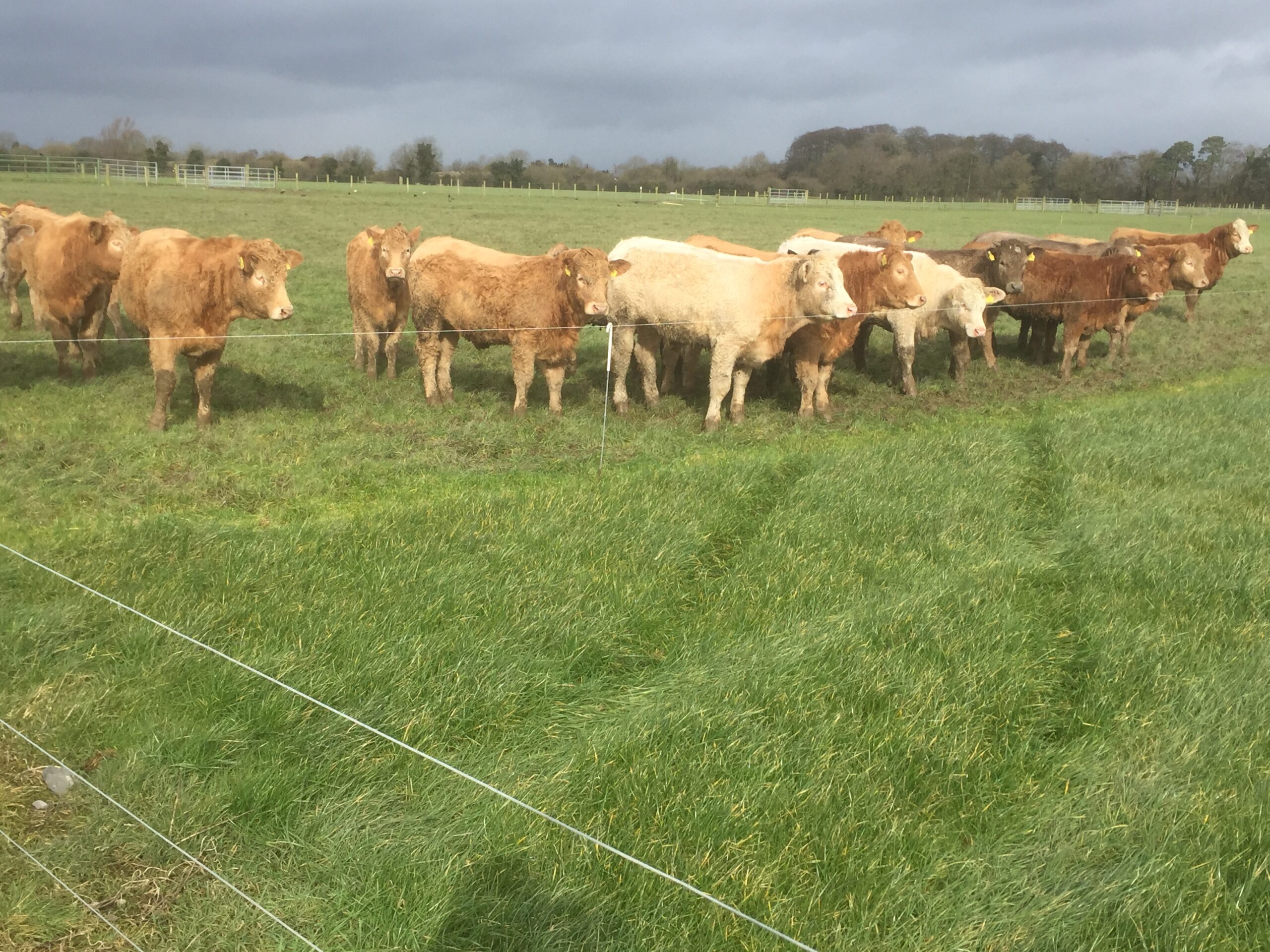 Derrypatrick RathEnclosure · 1.3 mi
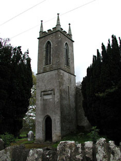 Saint Mary's Church (Galtrim)church/chapel · 1.3 mi
 Galtrim MoatCastle, motte · 1.3 mi
 IndicatedBawn · 1.4 mi
 Railway Woods (North)Forest · 1.8 mi
 Duck Pond WoodWood · 2.1 mi
 Battle of Tara (Ireland)Major battlefield · 4.6 mi
 Battle of Tara Hillbattle · 4.6 mi
 Saint Patrick'sMemorial · 4.8 mi
 Tara Open StudioGallery · 4.8 mi