What is recorded here
Situated on flat pasture land with ringfort (WM010-008----) marked on OS maps as ‘Rathduff’ containing a Man-made underground passage (WM010-008001-) decorated with a panel of rock art (WM010-008002-) immediately to NW. No surface remains visible of prehistoric flat cemetery (Waddell 1970, 134). In 1938 the site was described as following; ‘in a piece of tillage ground just beside the fort (WM010-008----) over a dozen stone lined cists have been dug up from time to time, but nothing was found except a few bones and traces of ashes. The cists were about two feet (0.6m) below the surface of the field, and I am told that other stone slabs are located deeper down and that they remain undisturbed’ (Weir 1938, 146-7). No monument indicated in this area on the 1914 ed. OS 6-inch map.
Compiled by: Frank Coyne and Caimin O'Brien
Date of upload: 1 November 2016
Portal dolmen; likely dates to the Neolithic or early Bronze Age. Its association with a ringfort and decorated rock art suggests ritual or ceremonial significance in a prehistoric landscape.
The monument record does not grant public access. Check the route and ask the landowner before entering private land.
- What survives
- Recorded monument
Places near here
 Hachured, RathduffFairy fort / earthen ringfort · 45 yd
 Bawn in EmperBawn · 1412 yd
 Site of CastleCastle, unclassified · 1544 yd
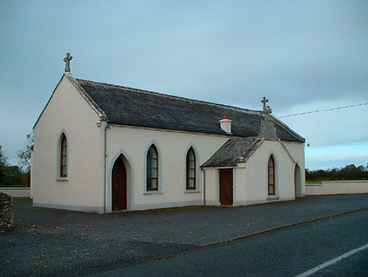 Saint Matthew's Catholic Churchchurch/chapel · 1606 yd
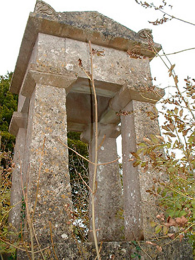 graveyard/cemeterygraveyard/cemetery · 1.1 mi
 Settlement desertedSettlement deserted, medieval · 1.7 mi
 ShawbrookForest · 2.1 mi
 Common AlderCommon Alder · 2.2 mi
 Abbeyshrule AbbeyRuins · 3.8 mi
 Saint Mel's CathedralCathedral · 13 mi
 First World War MemorialMemorial · 13 mi
 Church (in Ruins)Chapel · 1.1 mi