What is recorded here
From the National Monuments Service (Archaeological Survey of Ireland) record DG107-111
Places near here
Photo credits
- Maker not stated on source page, cont.ws
- Maker not stated on source page, www.dreamstime.com
- National Inventory of Architectural Heritage
- Maker not stated on source page, www.pinterest.com
- Maker not stated on source page, es.wikipedia.org
- Jonathan Wilkins, Geograph · CC BY-SA 2.0
- Maker not stated on source page, kids.britannica.com
- Maker not stated on source page, directmap.irish
- Highland Radio (publisher); individual photographer not stated, highlandradio.com
- Maker not stated on source page, www.airbnb.co.in
 Destroyed Finner Burial GroundGraveyard · 616 yd
Explorer Tom Destroyed Finner Burial Ground was an oval enclosure about 130 by 90 metres, with substantial banks and a church…
 Destroyed Finner Early Church EnclosureEcclesiastical enclosure · 616 yd
Explorer Tom Destroyed Finner Early Church Enclosure was described as an oval roughly 130 by 90 metres before its destruction. The…
 bridge978 yd
Explorer Tom Bridge in Dunmuckrum was built in 1866 to standard Irish gauge, not the narrow stuff used up north. I think it’s…
 Standing stone in RathmoreStanding stone · 1026 yd
Explorer Tom Standing stone in Rathmore is standing on fairly wet pasture land but looking out at some really big views! It must be…
 Rathglass Levelled Fairy FortFairy fort / earthen ringfort · 1393 yd
Explorer Tom Rathglass Levelled Fairy Fort is mostly just a 42m mound rising six decimeters from the ground, which is honestly a bit…
 Portnason HouseGate lodge · 1.1 mi
Explorer Tom Portnason House gate lodge has a porch with a 'crow stepped' gable that looks like a bird trying to fly away. Built…
 Tullan StrandBeach / strand · 1.4 mi
Explorer Tom Tullan Strand gives Bundoran two kilometres of sand, rolling surf and the Dartry Mountains lined up across the bay like…
 Inish SamerIslet · 1.5 mi
Explorer Tom Inish Samer is sitting at the River Erne’s mouth, guarding two shards of black pottery. A whole ancient community…
 Wardtown StrandBeach / strand · 1.5 mi
Explorer Tom Wardtown Strand is where Donegal's southern edge swaps the usual postcard beach for a broad, changing meeting of river…
 The Limit Bar And RestaurantRestaurant · 1.6 mi
Explorer Tom The Limit Bar And Restaurant is pushing its closing time to 20:45 on Fridays, which feels like a personal challenge to…
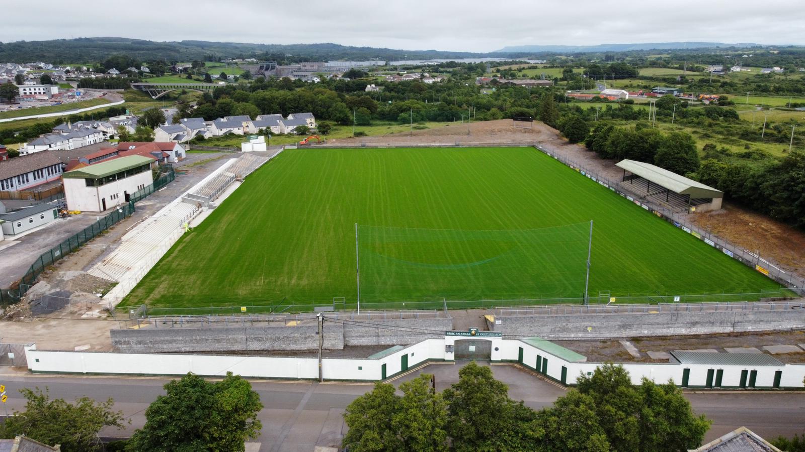 Father Tierney ParkGAA ground · 1.6 mi
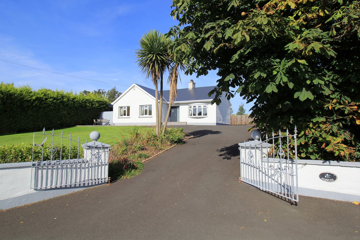 The BridgendPub · 1.8 mi
Explorer Tom The Bridgend sits on East Port, Ballyshannon, looking smug about its name while serving fish that’s seen things better…
More archaeology and monuments in County Donegal · All of County Donegal

What do you know about this place?Tap to add a comment or ask a question