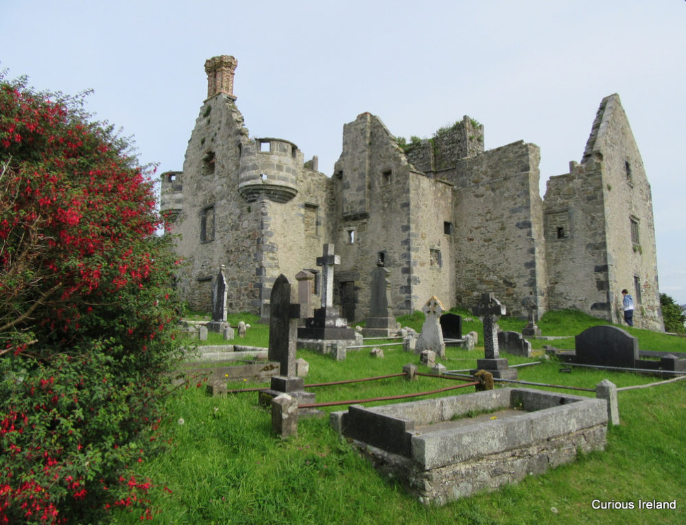
What is recorded here
Internal diam. c. 22m. A circular platform surrounded by a fosse and an outer bank. Internally near the SW edge is a recumbent stone, probably a fallen standing stone 1.25m × 0.3m which gives the monument its name of “Flahertys Stone” (DG106-006002-). Macalister (1949, 120) claimed to have read the inscription 'Liatach' on this stone. The platform, known as 'Finner Rath', is largely natural being the top of a small hill. Modern field fences run through the site. It is situated in good land but close to sand dunes.
Killanin and Duignan (1962; 1967) describe a site on Finner Hill, known as Flaherty's Stone', as a chambered cairn. It is a ringfort within which is a prostrate slab, possibly a fallen standing stone (DG106-006002-).
Killanin and Duignan 1962, 114; Killanin and Duignan 1967, 127; Lacy 1983, 173, no. 1043 (plan); SMR 1987, 106:6; RMP 1995, 106:6.
No Archaeological Features
Excavation Licence No. 00E0369
No archaeological features were identified from 27 test trenches undertaken by Gerry Walsh in the vicinity of the ringfort.
The monument record does not grant public access. Check the route and ask the landowner before entering private land.
- What survives
- Recorded monument
Places near here
 Finner Old GraveyardGraveyard · 292 yd
 Church (in Ruins)Church · 308 yd
 Cliffs by BundoranPublicly named cliff or headland · 625 yd
 Finner Ridge Earthen RingfortFairy fort / earthen ringfort · 760 yd
 Fairy BrigesHeritage attraction · 870 yd
 Finner Fairy FortFairy fort / earthen ringfort · 871 yd
 Wishing ChairHeritage attraction · 881 yd
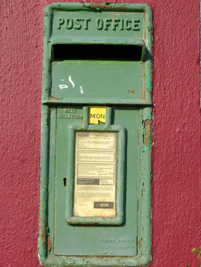 post boxpost box · 891 yd
 BundoranOfficial bathing water · 1433 yd
 Tullan StrandBeach / strand · 1.1 mi
 Bundrowes Castle (Site of)Castle, unclassified · 2.6 mi
 Lareen BayBay · 2.7 mi
Other information
Photo: Credit not shown in the picture search · Rights wording not checked; contact us if this picture should be removed