
What is recorded here
Finner Fairy Fort is a 35-metre earthen ring on a boggy Donegal ridge, marked Lisnaclontybane on old maps. Modern fences cut through its worn bank, yet the circular shape still holds against the surrounding fields. People may have lived there before becoming fairy lore, but the fort keeps both memories without explaining which is true.
Internal diam. 35m. Marked 'Lisnaclontybane' on the OS 6-inch maps. The site consists of a circular space enclosed by a low earthen bank, worn away in places. Modern field fences run through the site. It is situated on a shoulder of a low ridge on the N bank of a small stream. The surrounding land is generally good but a little boggy close to the site.
The above description was derived from the 'Archaeological Survey of County Donegal. A description of the field antiquities of the County from the Mesolithic Period to the 17th century.' Compiled by: Brian Lacey with Eamon Cody, Claire Cotter, Judy Cuppage, Noel Dunne, Vincent Hurley, Celie O'Rahilly, Paul Walsh and Seán Ó Nualláin (Lifford: Donegal County Council, 1983). In certain instances the entries have been revised and updated.
Date of upload: 22 September 2008
The monument record does not grant public access. Check the route and ask the landowner before entering private land.
- What survives
- Recorded monument
Places near here
 Drumacrin Earthen RingfortFairy fort / earthen ringfort · 159 yd
 Finner Circular Platform RingfortFairy fort / earthen ringfort · 291 yd
 Finner Old GraveyardGraveyard · 697 yd
 Church (in Ruins)Church · 715 yd
 Church in FinnerChurch · 1168 yd
 Cliffs by BundoranPublicly named cliff or headland · 1495 yd
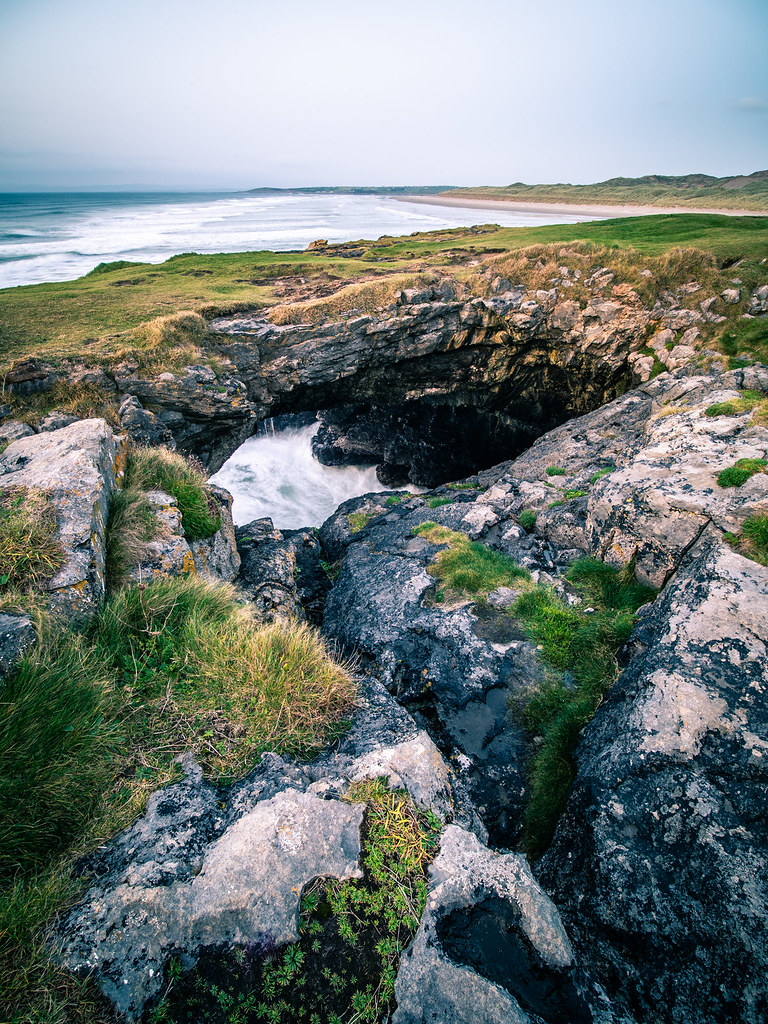
 Fairy BrigesHeritage attraction · 1707 yd
 Wishing ChairHeritage attraction · 1711 yd
 BundoranOfficial bathing water · 1.1 mi
 Tullan StrandBeach / strand · 1.3 mi
 Lareen BayBay · 2.3 mi
 St Anne's Church GraveyardGraveyard · 2.7 mi
Other information
Photo: Credit not shown in the picture search · Rights wording not checked; contact us if this picture should be removed