What is recorded here
A large irregularly shaped enclosure (dims. c. 120m NE-SW; c. 60m WNW-ESE) which is visible as a cropmark (CUCAP BGN094, 19 July 1971) W of the public road and which may be part of an associated field system. On the aerial photograph the N length seems to extend northeastward by c. 100m E of the road. It encloses a D-shaped enclosure (KK012-027----) which is also visible as a cropmark on the aerial photograph. It is not visible at ground level.
See attached photograph:
KK012-027001-_01 CUCAP BGN094, 19 July 1971
Compiled by: Jean Farrelly
Date of upload: 11 June 2019
The monument record does not grant public access. Check the route and ask the landowner before entering private land.
- What survives
- Recorded monument
Places near here
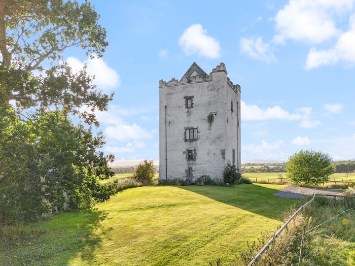 Enclosure in WoodsgiftEnclosure · 1 yd
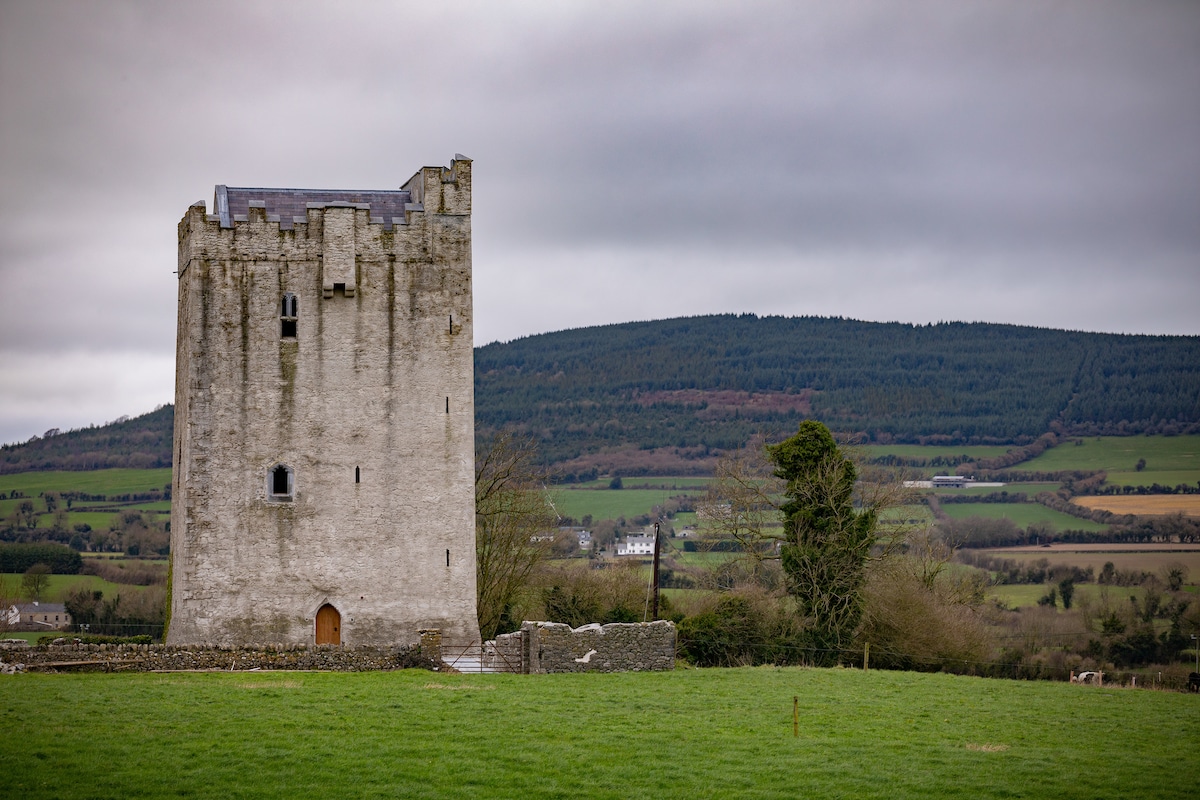 Enclosure in Tubbrid LowerEnclosure · 664 yd
 CastleCastle, ringwork · 928 yd
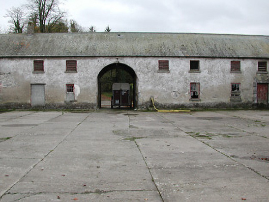 Woodsgift Housefarmyard complex · 944 yd
 Church in WoodsgiftChurch · 1021 yd
 Kildrinagh WoodForest · 1.1 mi
 Tubbrid Castle (in ruins)Castle, tower house · 1.2 mi
 Clomantagh HillMountain / peak · 2.3 mi
 Deerpark WoodWood · 3.4 mi
 John HelyMemorial · 3.5 mi
 DelaneyMemorial · 3.6 mi
 Bregaun HillMountain / peak · 5.3 mi