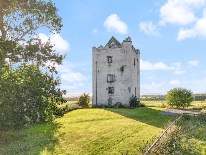
What is recorded here
This is not indicated on either the 1st ed. (1839) OS 6-inch map or subsequent 1900 revision, though may have been missed as it was in a large tree plantation. It is referred to as a 'mound' in correspondence relating to a Land Project scheme in 1962 (OPW Correspondence) and was subsequently levelled. It was identified as cropmark on an aerial photograph in 1971 (CUCAP BGN094, 19 July 1971). It appears as a D-shaped enclosure (diam. c. 35m), the E or straight side of the D may have been truncated by an earlier field boundary. The enclosure is within a larger irregularly shaped enclosure (dims. c. 120m NE-SW; c. 60m WNW-ESE) which is visible as a cropmark W of the public road and which may be part of an associated field system (KK012-027001-). On the aerial photograph the N length of this larger enclosure seems to extend northeastward by c. 100m E of the road. It is not visible at ground level.
See attached photograph:
KK012-027----_01 CUCAP BGN094, 19 July 1971
Compiled by: Jean Farrelly
Date of upload: 11 June 2019
The monument record does not grant public access. Check the route and ask the landowner before entering private land.
- What survives
- Recorded monument
Places near here
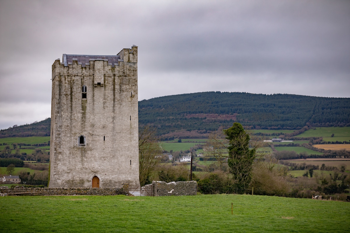 Enclosure in Tubbrid LowerEnclosure · 664 yd
 CastleCastle, ringwork · 928 yd
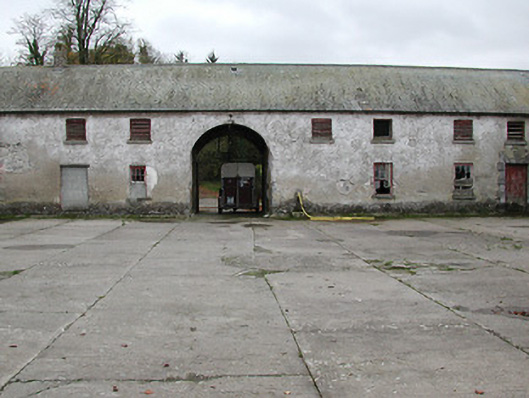 Woodsgift Housefarmyard complex · 944 yd
 Church in WoodsgiftChurch · 1021 yd
 IndicatedFairy fort / earthen ringfort · 1035 yd
 Kildrinagh WoodForest · 1.1 mi
 Tubbrid Castle (in ruins)Castle, tower house · 1.2 mi
 Clomantagh HillMountain / peak · 2.3 mi
 Deerpark WoodWood · 3.4 mi
 John HelyMemorial · 3.5 mi
 DelaneyMemorial · 3.6 mi
 Bregaun HillMountain / peak · 5.3 mi
Other information
Photo: Credit not shown in the picture search · Rights wording not checked; contact us if this picture should be removed