What is recorded here
Carrigan (1905, vol. 2, 377) refers to a penal chapel which was built by Lieutenant Wood of Woodsgift, 'about 500 yds. north of his own residence'. He relates that on Wood's death the chapel was turned into a stable and that 'At present [c. 1905] nothing remains of the chapel but the bare foundations, 42 ft. [12.8m]…
Read the whole record
From the National Monuments Service (Archaeological Survey of Ireland) record KK012-026002
Places near here
Photo credits
- National Inventory of Architectural Heritage
- Maker not stated on source page, tr.pinterest.com
- Maker not stated on source page, www.flickr.com
- Maker not stated on source page, global-geography.org
- Mike Searle, Geograph · CC BY-SA 2.0
- Maker not stated on source page, monumentalireland.ie
- Maker not stated on source page, allthatsinteresting.com
- Maker not stated on source page, commons.wikimedia.org
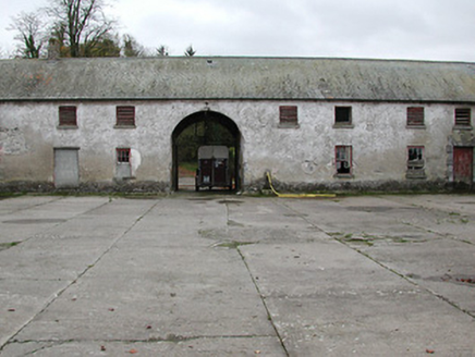 Woodsgift HouseFarmyard complex · 216 yd
Explorer Tom Woodsgift House farmyard complex holds a long grudge against the weather for burning down its main house in 1914. The…
 Fairy fort / earthen ringfort in ForekillFairy fort / earthen ringfort · 956 yd
Explorer Tom Fairy fort / earthen ringfort in Forekill had an escape plan involving a stony bank and a lot of running. The first…
 Fairy fort / earthen ringfort in Tubbrid LowerFairy fort / earthen ringfort · 1147 yd
Explorer Tom Fairy fort / earthen ringfort in Tubbrid Lower: It suspects the postman is actually a spy for the fairies. Trees are…
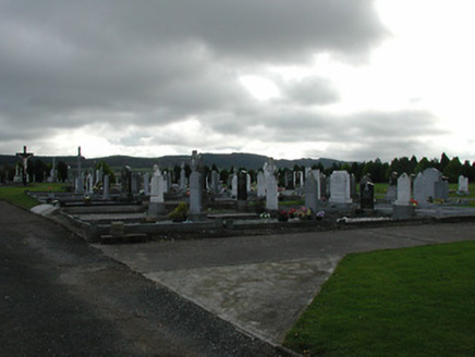 Saint Patrick's Catholic ChurchGraveyard/cemetery · 1197 yd
Explorer Tom Saint Patrick’s graveyard in Garranconnell refuses to fall down because it knows it’s got good stories. The stones are…
 Saint Patrick's GraveyardGraveyard · 1230 yd
Explorer Tom Saint Patrick's Graveyard in County Kilkenny was mislabeled by map makers who clearly didn't check their spelling…
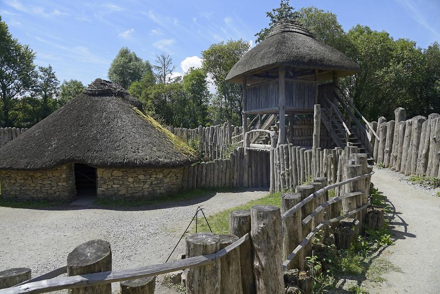 Garranconnell Ringfort (rath)Archaeological place · 1345 yd
Explorer Tom Garranconnell Ringfort is locked in a fierce feud with the next village over something about whose turnips are tastier.…
 CastleCastle, tower house · 1680 yd
Explorer Tom Castle at Balief Upper made the whole parish argue over who actually owned it back then. It’s a circular tower with a…
 Belle Vue HouseHouse · 1708 yd
Explorer Tom Belle Vue House in Borrismore would survive a zombie attack by locking all the bowed-side windows and hiding behind the…
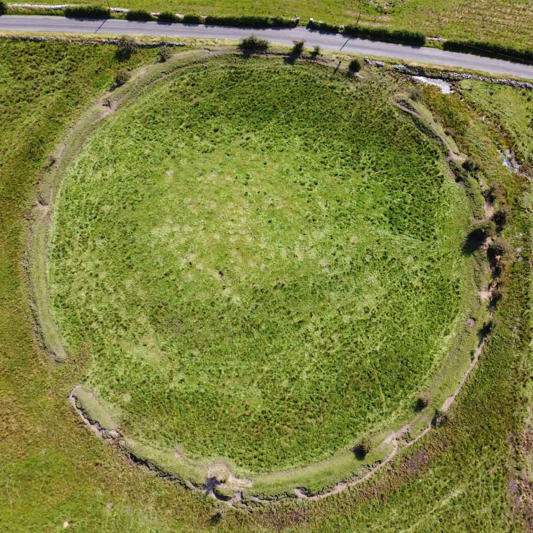 Craddockstown RingfortArchaeological place · 1721 yd
Explorer Tom Craddockstown Ringfort claims to have a family tree so long and tangled that historians have given up reading it and…
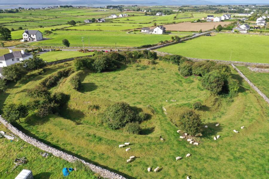 Fairy fort / earthen ringfort in GlenreaghFairy fort / earthen ringfort · 1752 yd
Explorer Tom Fairy fort / earthen ringfort in Glenreagh took four million cups of tea to build. It’s overgrown and sitting on a…
 rectory/glebe/vicarage/curate's house1.1 mi
Explorer Tom Rectory in Balief Upper caused the whole parish to argue about its windows. The openings get smaller as they go up…
 Church in Ballynascarry (gore)Church · 1.1 mi
Explorer Tom Church in Ballynascarry thinks the road leading to it is too slow and full of potholes. It was abandoned before 1700…
More historic places in County Kilkenny · All of County Kilkenny

What do you know about this place?Tap to add a comment or ask a question