What is recorded here
Situated on a low-lying landscape with the SSE-NNW Boycestown River at its W edge and a SSE-NNW meandering esker ridge just W of the stream. An area of about 10 acres (c. 3ha) was divided into small paddocks or plots (dims c. 30m x c. 20m to c. 50m x c. 50m) by earthen banks, scarps or silted drains. Only one possible house site was recognised. The earthworks appear to have lost their visible profile by 1995 (OSAP), but they are visible on vertical aerial photographs (GSIAP: N 154, 165) from the 1970s.
The above description is derived from the published 'Archaeological Inventory of County Meath' (Dublin: Stationery Office, 1987). In certain instances the entries have been revised and updated in the light of recent research.
Compiled by: Michael Moore
Date of revision: 21 August 2019
The monument record does not grant public access. Check the route and ask the landowner before entering private land.
- What survives
- Recorded monument
Places near here
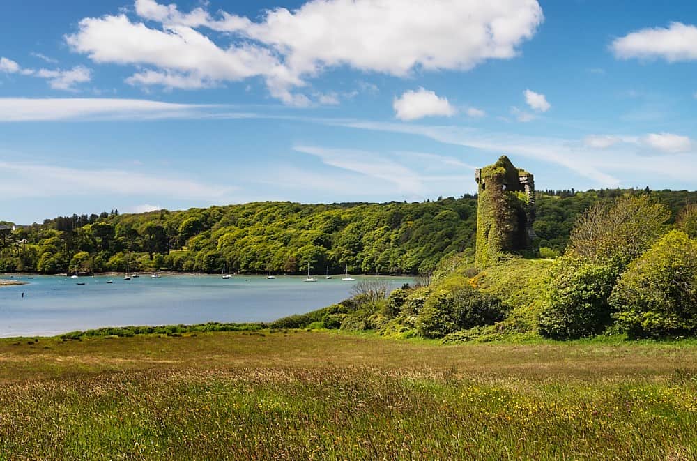 Walshs RaheenFairy fort / earthen ringfort · 1.0 mi
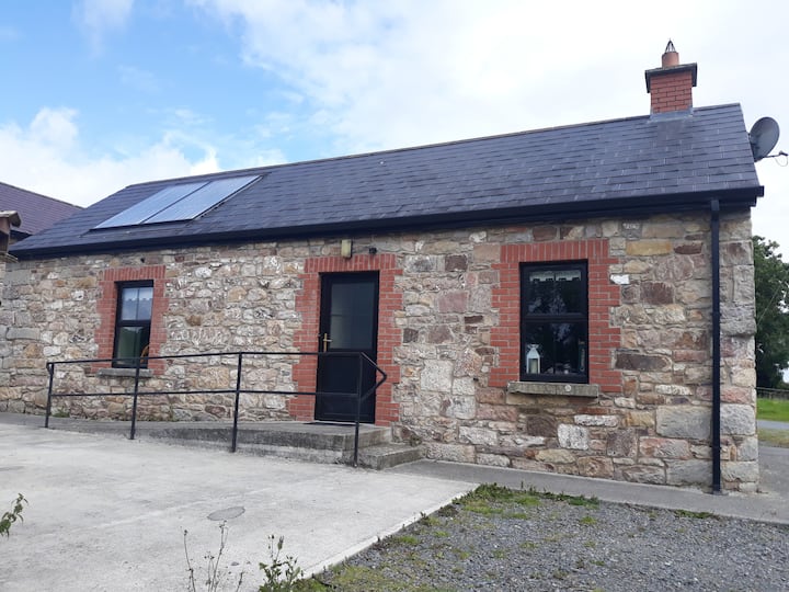 Enclosure in WindtownEnclosure · 1.1 mi
 Ginnets MoatCastle, motte · 1.1 mi
 Scurlogstown CastleArchaeological place · 1.3 mi
 Church (in Ruins)Church · 1.3 mi
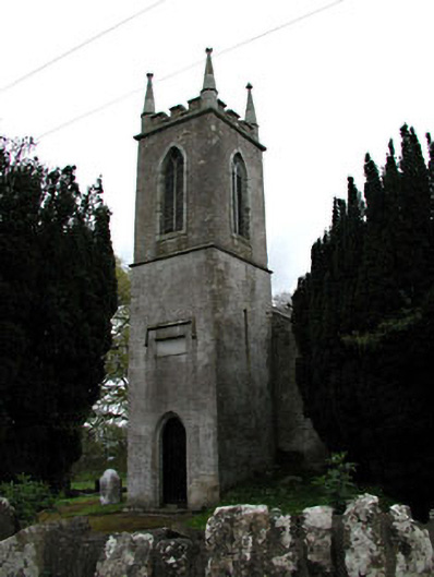 Saint Mary's Church (Galtrim)church/chapel · 1.7 mi
 Saints IslandForest · 2.1 mi
 European ashEuropean ash · 3.4 mi
 Battle of Tara (Ireland)Major battlefield · 5.4 mi
 Battle of Tara Hillbattle · 5.4 mi
 Saint Patrick'sMemorial · 5.6 mi
 Tara Open StudioGallery · 5.7 mi