
What is recorded here
In rough upland pasture, on a S-facing slope of the Ox Mountains and adjacent to a cashel (SL031-017----). A low heather and scrub-covered rise (L c. 15m), from which an occasional stone protrudes, extends from the cashel wall at SE. From there a densely overgrown stone-faced scarp (H 1m) extends eastwards along a…
Read the whole record
From the National Monuments Service (Archaeological Survey of Ireland) record SL031-017001
Places near here
Photo credits
- Gordon Hatton, Geograph · CC BY-SA 2.0
- Maker not stated on source page, www.pinterest.com
- Maker not stated on source page, www.dreamstime.com
- Maker not stated on source page, www.letsgoireland.com
- Maker not stated on source page, www.rte.ie
- Richard Webb, Geograph · CC BY-SA 2.0
- Alan Reid, Geograph · CC BY-SA 2.0
- Maker not stated on source page, www.tripadvisor.in
- Tubbercurry GAA Club (official website publisher); individual aerial photographer not named, tubbercurrygaa.com
- National Inventory of Architectural Heritage
 Mass RockNamed rock · 1.7 mi
Explorer Tom Mass Rock in County Sligo inspired a bad poem that starts with 'Oh rock so tall' and ends with 'It’s really quite a…
 Cloonacool GraveyardCemetery · 1.9 mi
Explorer Tom Cloonacool Graveyard is cursed so that anyone who doesn’t wave politely gets a sudden itch they can’t scratch for…
 Enclosure in SessuegarryEnclosure · 1.9 mi
Explorer Tom Enclosure in Sessuegarry hosted a dance that got so wild the trees on the perimeter are still swaying from the…
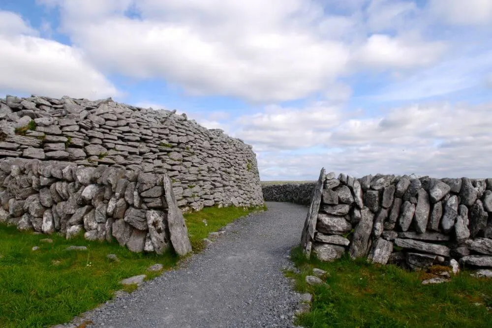 Fairy fort / stone ringfort in Castlerock or CastlecarraghFairy fort / stone ringfort · 2.7 mi
Explorer Tom Fairy fort / stone ringfort in Castlerock Or Castlecarragh is perched on a steep rise and refuses to let birds nest…
 Cloonacool GAA Community FieldGAA ground · 2.7 mi
 Lough Talt TrailVisitor information · 3.8 mi
Explorer Tom Lough Talt Trail has a shortcut that is technically longer if you count the time spent arguing about which way is down.…
 Tourlestrane GAAGAA ground · 4.2 mi
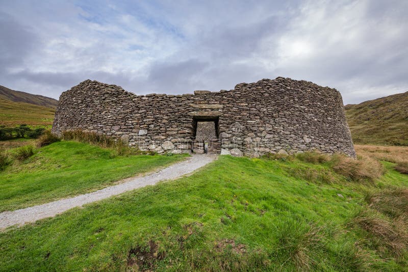 Fairy fort / stone ringfort in GlennawooFairy fort / stone ringfort · 4.3 mi
Explorer Tom Glennawoo’s stone ringfort complains that the wind picks on it because it terraced itself too sloppily into the…
 Largan HillMountain / peak · 4.7 mi
Explorer Tom Largan Hill in County Sligo is strictly run by a terrier who barks at any cloud that passes overhead. The forest below…
 Church in KillureChurch · 4.7 mi
Explorer Tom Church in Killure has a ghost who is too lazy to haunt it properly because he keeps falling asleep on the sod-covered…
 Kilcoyne Park, Tubbercurry GAAGAA ground · 4.7 mi
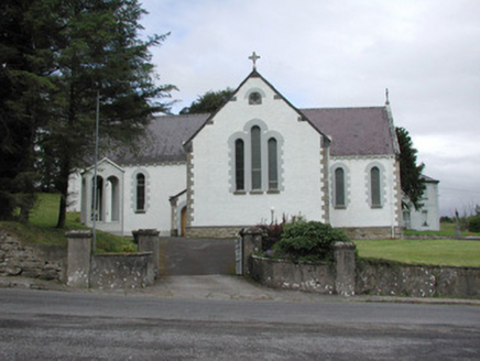 Catholic Church of Our Lady of the RosaryChurch/chapel · 5.9 mi
Explorer Tom Catholic Church of Our Lady of the Rosary in Kilmacteige has a bad poem written about it that rhymes 'rosary' with…
More archaeology and monuments in County Sligo · All of County Sligo

What do you know about this place?Tap to add a comment or ask a question