What is recorded here
Listed in both the SMR (1989) and RMP (1995) and classified as 'Enclosure'. Not marked on any edition of the OS 6-inch map. Its inclusion in the SMR was based on a feature, interpreted as an oval enclosure (c. 40m N-S; c. 20m E-W) with trees growing on the perimeter, visible in an aerial photograph (GSIAP, G 258-9). Upon inspection in 1993 no remains of an enclosure were identified.
Compiled by: Archaeological Survey Unit, UCC
Date of upload: 21 November 2011
The monument record does not grant public access. Check the route and ask the landowner before entering private land.
- What survives
- Recorded monument
Places near here
 IndicatedFairy fort / earthen ringfort · 331 yd
 Enclosure in SessuegarryEnclosure · 884 yd
 Tawnyart WoodWood · 1.3 mi
 New WoodWood · 1.5 mi
 Castle Carragh in RuinsCastle, unclassified · 1.6 mi
 Castle (Site of)Castle, unclassified · 1.8 mi
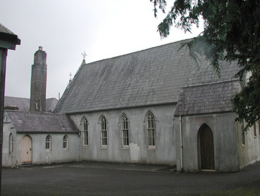 Banada Abbey Conventchurch/chapel · 2.3 mi
 Saint Attracta's Catholic Churchchurch/chapel · 2.4 mi
 Mass RockNamed rock · 2.6 mi
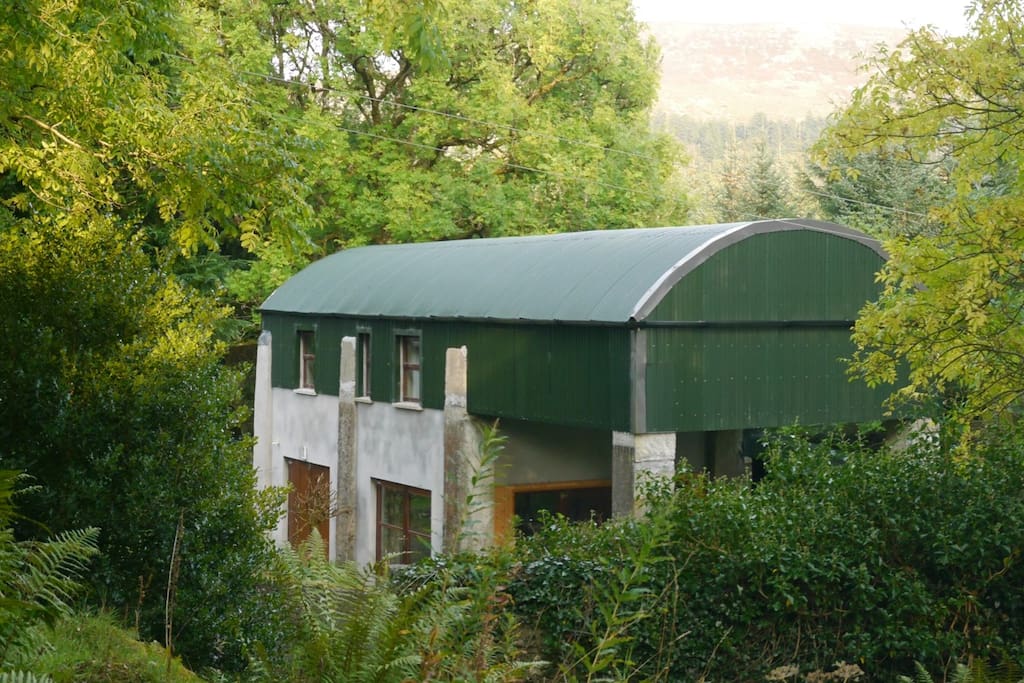 CloonacoolMountain / peak · 3.7 mi
 Lough Talt TrailVisitor information · 3.8 mi
 Largan HillMountain / peak · 5.0 mi