What is recorded here
Situated on a fairly level landscape. Outside the town wall of Athboy (ME029-023001-) and immediately S of the graveyard (ME029-023012-) attached to church (ME029-023003-) are the remains of a grass-covered field system, defined by low banks or scarps, and with a sunken roadway (W 11m). It covers about 15 acres (c. 6 ha), but it may have been more extensive.
The above description is derived from the published 'Archaeological Inventory of County Meath' (Dublin: Stationery Office, 1987). In certain instances the entries have been revised and updated in the light of recent research.
Compiled by: Michael Moore
Date of revision: 28 February 2019
The monument record does not grant public access. Check the route and ask the landowner before entering private land.
- What survives
- Recorded monument
Places near here
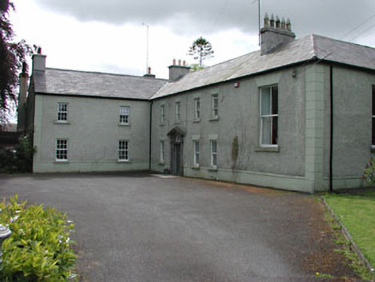 Danes Courtcountry house · 104 yd
 St James ChurchChurch · 141 yd
 Town defences in Town Parks (lune By.)Town defences · 171 yd
 CastleCastle, unclassified · 1666 yd
 Ceremonial enclosure in TlachtaCeremonial enclosure · 1.2 mi
 Fraine CastleCastle, tower house · 1.7 mi
 FraineMountain / peak · 1.8 mi
 Laurelberry WoodWood · 3.1 mi
 FarmaphobiaHeritage attraction · 3.1 mi
 Causey FarmHeritage attraction · 3.1 mi
 Girley WoodWood · 3.2 mi
 Drewstown LittleMountain / peak · 3.3 mi