What is recorded here
The interior of rath (RO032-023001-) is overlain by the remnants of a field system and relict field banks of fairly large fields (dims c. 100m x c. 50m) covered c. 6 acres (c. 2.5 ha) in the 1970s (CUCAP: BDK 84), but these are no longer extant.
Compiled by: Michael Moore
Date of upload: 24 August 2010
The monument record does not grant public access. Check the route and ask the landowner before entering private land.
- What survives
- Recorded monument
Places near here
 Embanked enclosureFairy fort / earthen ringfort · 93 yd
 Enclosure in Stonepark SouthEnclosure · 149 yd
 IndicatedChurch · 294 yd
 Church (in Ruins)Church · 1364 yd
 CastleCastle, unclassified · 1.5 mi
 Slieve DartMountain / peak · 3.1 mi
 Castle in ruinsCastle, unclassified · 4.6 mi
 Coolougher WoodForest · 5.4 mi
 Rook HillMountain / peak · 5.7 mi
 Site of Killomaine Grave YardArchaeological place · 9.2 mi
 European ashEuropean ash · 15 mi
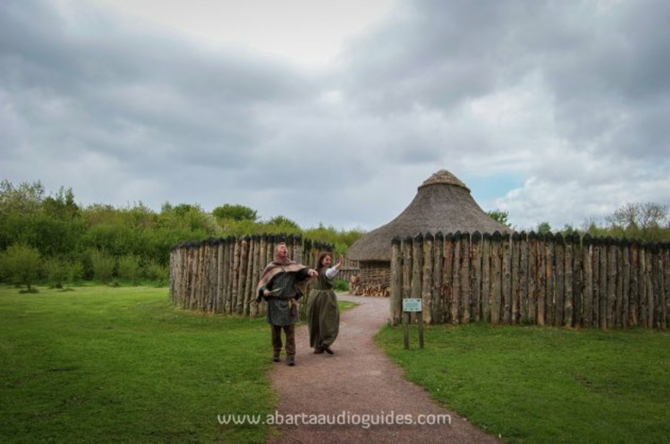 Moanbane FortFairy fort / earthen ringfort · 457 yd