What is recorded here
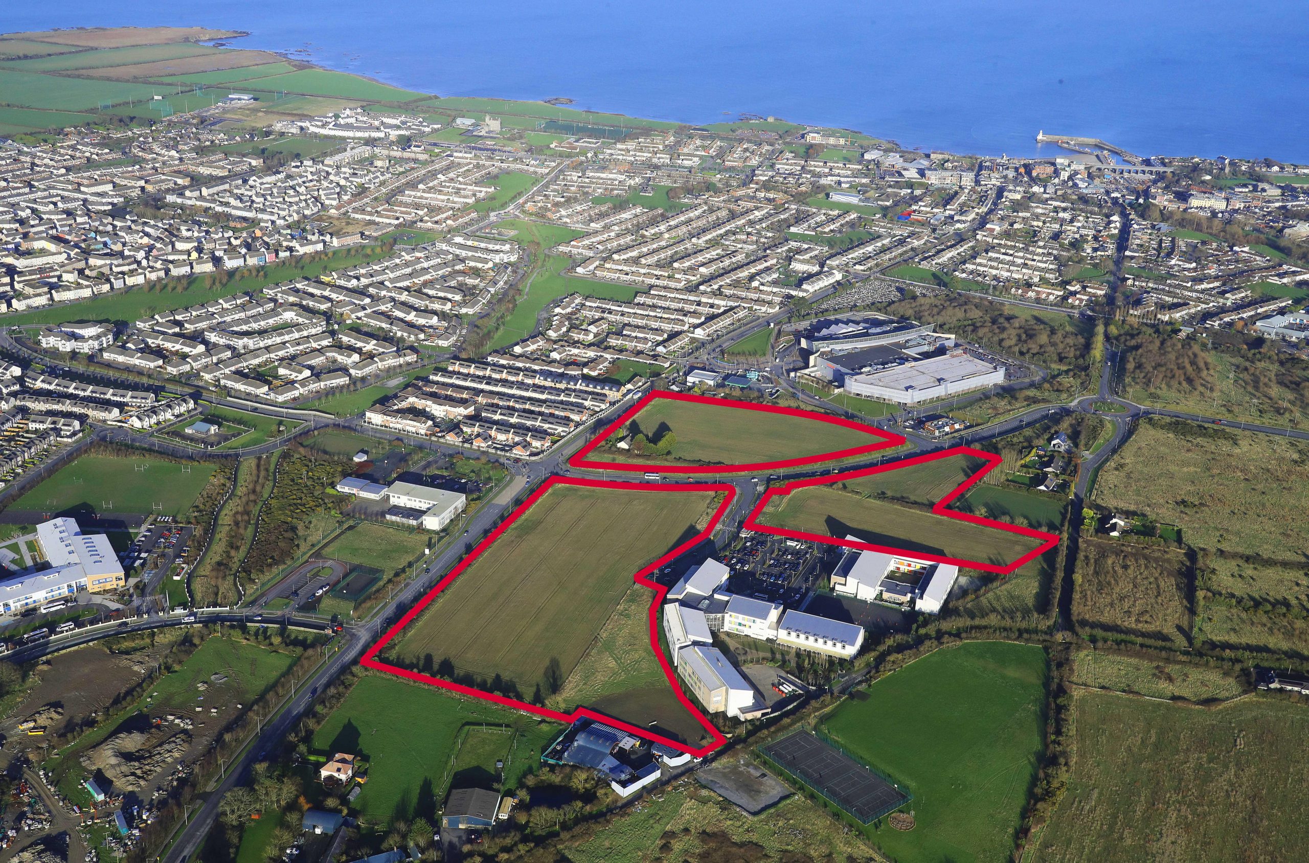
Sub-rectangular field system associated with bivallate ringfort (DU005-115----). A 67.5m section of the ditch to the western limit of the field system was excavated (07E0836 Ext.) in advance of road construction. As were two associated internal ditches and pit activity. Section of ditch excavated was U-shaped average width 3.9m at upper tapering to 0.6m at base, max. depth 2.4m –fills of silt, sand and clay with considerable quantities of animal bone. Radiocarbon dates from wood recovered near ditch base were 673-858 AD while the upper portion dated to 779-960 AD. the uppermost fill of the ditch produced a copper stick pin dated late 12th-early 13th century. Internal to the ditch was a key-hole shaped cereal drying containing carbonised oat, barley and wheat. the majority of the site has been preserved in situ.
Compiled by: Christine Baker
Date of upload: 16 November 2014
The monument record does not grant public access. Check the route and ask the landowner before entering private land.
- What survives
- Recorded monument
Places near here
 Enclosure in StephenstownEnclosure · 7 yd
 Lady WellHoly well · 214 yd
 Chapel in Folkstown LittleChapel · 223 yd
 Castle (remains of)Castle, tower house · 253 yd
 KilnKiln, corn-drying · 272 yd
 Clonard SpringSpring · 1478 yd
 Balrothery TowerCastle · 1635 yd
 Balrothery Heritage CentreMuseum · 1641 yd
 Wavin LakesNature reserve · 1734 yd
 Balbriggan Tourist OfficeVisitor information · 1759 yd
 Flat cemetery in DarcystownFlat cemetery · 1.2 mi
 Barn WoodWood · 1.3 mi