What is recorded here
Aerial photograph (GB89.C.43) show cropmarks of a series of irregular fosses forming a possible field system.
Compiled by: Dr Gillian Barrett for the Archaeological Survey of Ireland.
Date of upload: 10 June 2009
The monument record does not grant public access. Check the route and ask the landowner before entering private land.
- What survives
- Recorded monument
Places near here
 Enclosure in RoodstownEnclosure · 1295 yd
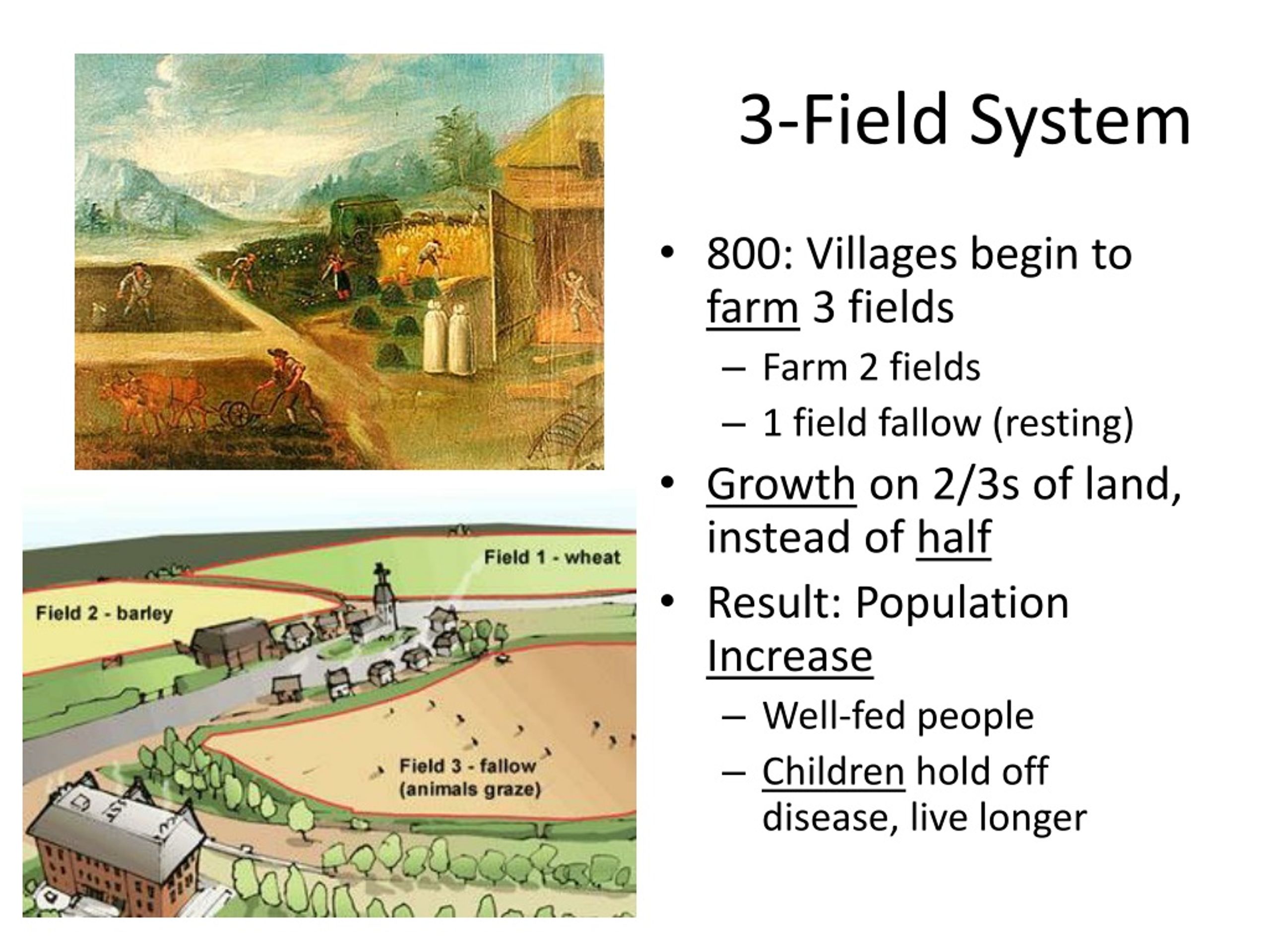 Field system in DerrycammaghField system · 1385 yd
 Rabbit BurrowWood · 1691 yd
 Wall monument (present location) in BraganstownWall monument (present location) · 1.1 mi
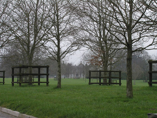 Braganstown Housecountry house · 1.1 mi
 Drumcashel FortCastle, motte · 1.1 mi
 Roodstown CastleCastle, tower house · 1.2 mi
 Graveyard in Richardstown (ardee By., Richardstown Par.)Graveyard · 2.2 mi
 Monterey CypressMonterey Cypress · 2.2 mi
 Graveyard in StickillinGraveyard · 2.5 mi
 Drummeenagh HillMountain / peak · 3.3 mi
 Mount OrielMountain / peak · 6.9 mi