
What is recorded here
From the National Monuments Service (Archaeological Survey of Ireland) record ME028-081
Places near here
Photo credits
- Maker not stated on source page, www.pinterest.com
- Maker not stated on source page, www.alamy.com
- Maker not stated on source page, en.wikipedia.org
- Maker not stated on source page, www.mykidstime.com
- Maker not stated on source page, ru.wikipedia.org
- National Inventory of Architectural Heritage
- Maker not stated on source page, commons.wikimedia.org
- Kieran Campbell, Wikimedia Commons · CC BY-SA 2.0
- Maker not stated on source page, www.irishamericanmom.com
- Maker not stated on source page, storage.googleapis.com
 Church (in Ruins)Church · 1.2 mi
Explorer Tom Church in Stamullin is officially destroyed, yet a poet once fell in the ditch right next to it. The river doesn't care…
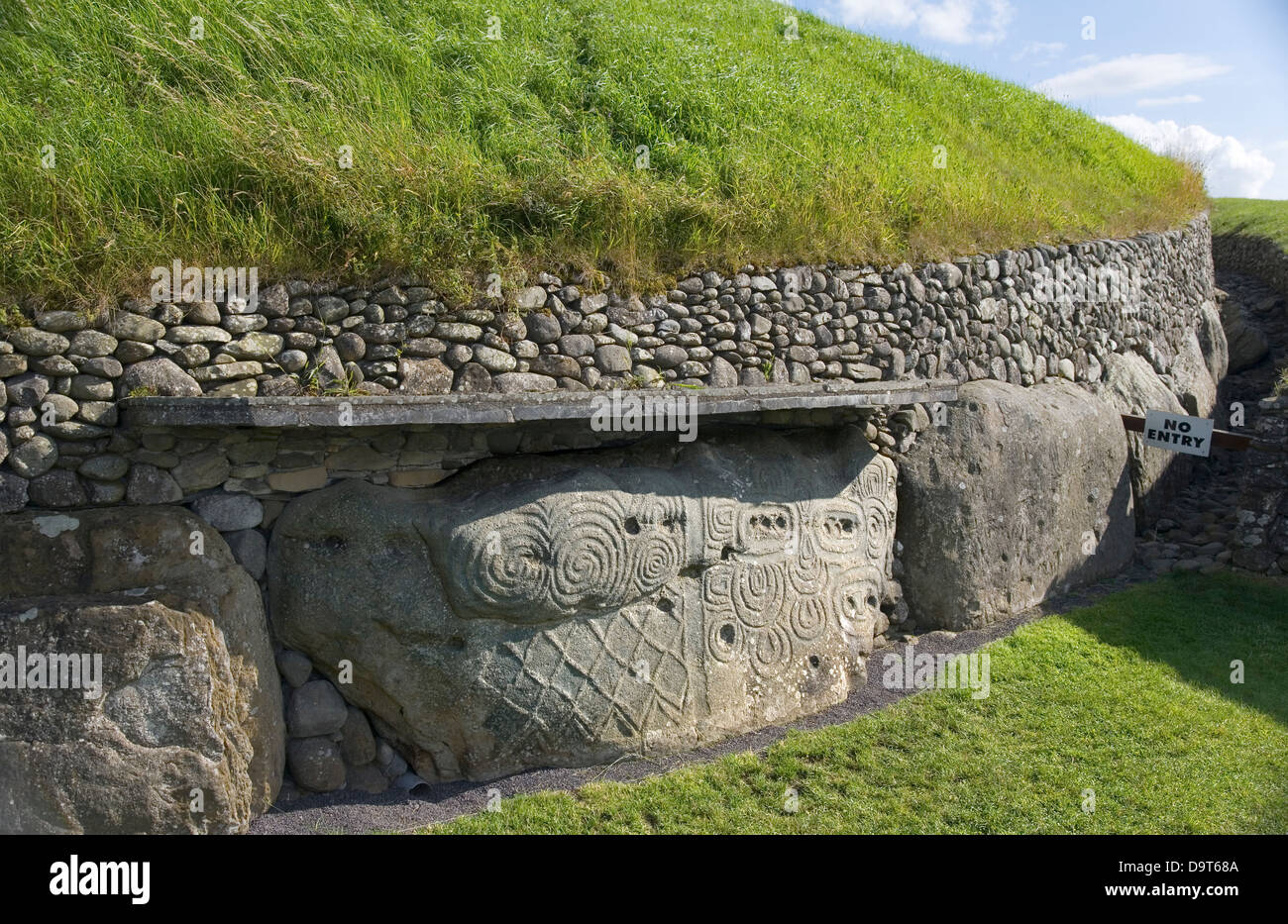 TombTomb, effigial · 1.2 mi
Explorer Tom Tomb in Stamullin gave up sugar for Lent but kept the fancy stone carving habits. It’s just lying flat on the ground…
 Enclosure in GibblockstownEnclosure · 1.3 mi
Explorer Tom Enclosure in Gibblockstown is currently locked in a bitter feud with the rain because it thinks the water keeps washing…
Enclosure in LisdornanEnclosure · 1.4 miExplorer Tom This sibling Enclosure in Lisdornan thinks the local sheep have strong opinions about its field system. It’s just a…
 CairnCairn, unclassified · 1.4 mi
Explorer Tom This Cairn in Claristown has a prophecy about it turning into gold, which never happened because the gods were busy.…
 Enclosure in Herbertstown (duleek Upper By.)Enclosure · 1.5 mi
Explorer Tom Enclosure in Herbertstown has an irregular shape, perfect for surviving a zombie attack by simply confusing them about…
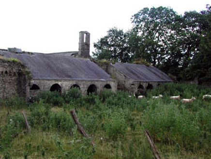 Herbertstown HouseFarmyard complex · 1.8 mi
Explorer Tom Herbertstown House is a farmyard complex that still thinks it’s the main event, even though the big house is largely…
 Graveyard in Tullog,herbertstown (duleek Upper By.)Graveyard · 1.8 mi
Explorer Tom Graveyard in Tullog, Herbertstown holds the world record for being unfindable since 1682 when it went out of repair and…
 CrossCross, Wayside cross · 2.1 mi
Explorer Tom Cross in Sarsfieldstown is stuck in a garden like an awkward uncle at a wedding. It’s got a Pietá that looks deeply…
 Fairy fort / earthen ringfort in CurraghwallsFairy fort / earthen ringfort · 3.2 mi
Explorer Tom Another fairy fort in Curraghwalls, with two ditches because one wasn’t enough for its paranoia. I swear there’s a…
 Standing stone in Bellewstown (duleek Upper By.)Standing stone · 3.8 mi
Explorer Tom Standing stone in Bellewstown is stuck in a furious dispute with a fairy over who gets to park there first every…
 Fairy fort / ringfort in Bellewstown (duleek Upper By.)Fairy fort / ringfort · 3.9 mi
Explorer Tom A ghost haunts this Fairy fort / ringfort in Bellewstown, but he’s too lazy to do more than dusting. He just sits by…
More archaeology and monuments in County Meath · All of County Meath

What do you know about this place?Tap to add a comment or ask a question