
What is recorded here
From the National Monuments Service (Archaeological Survey of Ireland) record RO044-083001
Places near here
Photo credits
- Maker not stated on source page, commons.wikimedia.org
- Maker not stated on source page, irishheritagenews.ie
- Maker not stated on source page, uk.pinterest.com
- Maker not stated on source page, www.thejournal.ie
- Maker not stated on source page, www.wikidata.org
- dougf, Geograph · CC BY-SA 2.0
- National Inventory of Architectural Heritage
- Brian Lawless / Sportsfile, as credited in the Ulster GAA caption, ulster.gaa.ie
- Maker not stated on source page, tr.pinterest.com
- Maker not stated on source page, en.wikipedia.org
- Maker not stated on source page, www.visitgalway.ie
 Earthwork in MullaghardaghEarthwork · 569 yd
Explorer Tom Mullaghardagh really means 'Place Where The Farmer Argued With His Tractor' if you believe my completely made-up…
 Fairy fort / earthen ringfort in CroninFairy fort / earthen ringfort · 1438 yd
Explorer Tom Fairy fort / earthen ringfort in Cronin is proud of being D-shaped because circles are boring and everyone does them.…
 Fairy fort / stone ringfort in Carrowkeel (athlone North By. Turrock Ed)Fairy fort / stone ringfort · 1522 yd
Explorer Tom This stone ringfort in Carrowkeel was once ruled by a goat named Gerald who ate all the documentation and left only his…
 Fairy fort / stone ringfort in CroninFairy fort / stone ringfort · 1.0 mi
Explorer Tom The Fairy fort / stone ringfort in Cronin swears there’s a hidden tunnel straight to the pub, but nobody’s found the…
 Fairy fort / earthen ringfort in Gortaphuill (athlone North By.)Fairy fort / earthen ringfort · 1.1 mi
Explorer Tom Fairy fort / earthen ringfort in Gortaphuill, County Roscommon would survive a zombie attack by simply letting them…
 CastleCastle, tower house · 1.3 mi
Explorer Tom Castle in Cloghan is hiding a treasure that is definitely a biscuit tin from the seventies, but I'm not taking…
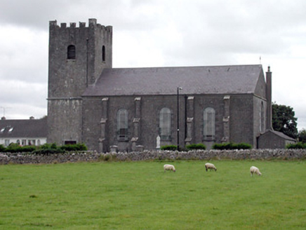 Saint Joseph's Catholic ChurchChurch/chapel · 2.1 mi
Explorer Tom Saint Joseph's Catholic Church in Ballyforan is playing hide-and-seek with me, and I suspect it’s hiding because it…
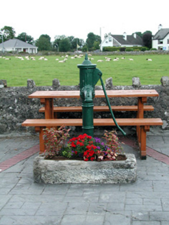 water pump2.1 mi
Explorer Tom Ballyforan’s water pump is standing on the corner like the world’s most judgmental bouncer, judging your hydration…
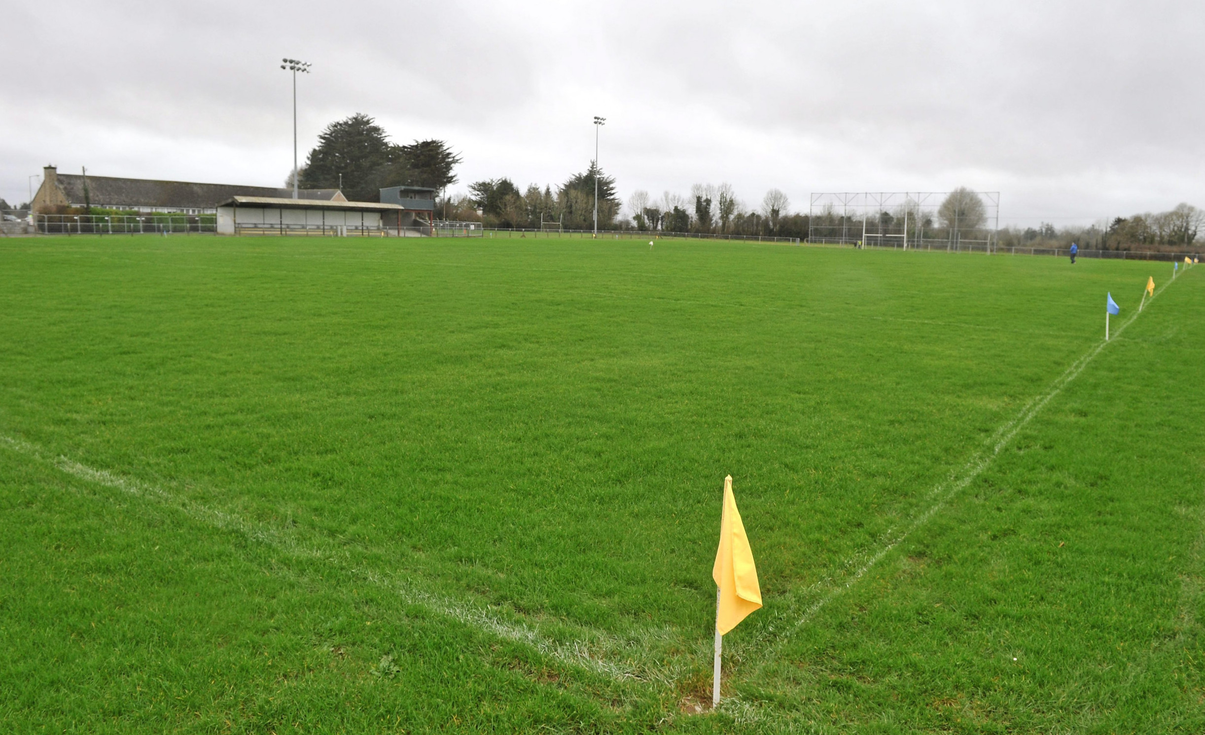 Páirc Naomh Aodain, St. Aidan's GAA, BallyforanGAA ground · 2.3 mi
 Mapped cemeteryCemetery · 3.5 mi
Explorer Tom Mapped cemetery in County Galway has a ghost that's too lazy to haunt it properly because the stairs are steep. He…
 Deerpark Ballygar, St Brendan's Football ClubGAA ground · 4.7 mi
 Site of Ballygar CastleCastle, unclassified · 5.1 mi
Explorer Tom Site of Ballygar Castle is just a faint rise in the ground, so you’ll need to squint really hard or bring a magnifying…
More archaeology and monuments in County Roscommon · All of County Roscommon

What do you know about this place?Tap to add a comment or ask a question