What is recorded here
Situated in a slight fold on an E-facing slope. According to the Civil Survey (1655) there were twenty cabins at Moylagh in 1641 as well as the church and castle, the property of Sir Richard Barnwall of Crickstown (ME039-006----) (Simington 1940, 266). A grass-covered area of about 1.5 ha (c. 4 acres) has relict field banks (Wth c. 4m; H c. 0.5m) creating small plots (dims c. 20m x c. 20m to c. 35m x c. 15m) aligned NE-SW, parallel with the current field walls. Amongst the plots is a single house platform (dims 12m E-W; 5.3m N-S) defined by low scarps. There are some old quarry holes in the area. The parish church of Moylagh (ME015-033001-) and its graveyard are immediately to the SW, and the motte (ME015-033----) is at the S end of the complex with relict field banks connecting with it.
The above description is derived from the published 'Archaeological Inventory of County Meath' (Dublin: Stationery Office, 1987). In certain instances the entries have been revised and updated in the light of recent research.
Compiled by: Michael Moore
Date of revision: 15 January 2019
The monument record does not grant public access. Check the route and ask the landowner before entering private land.
- What survives
- Recorded monument
Places near here
 Cross in MoylaghCross · 72 yd
 Moat CastleCastle, unclassified · 108 yd
 Moylagh FortFairy fort / earthen ringfort · 128 yd
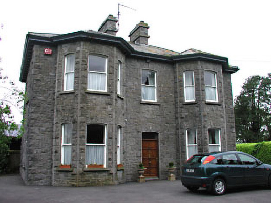 Saint Mary'spresbytery/parochial/curate's house · 559 yd
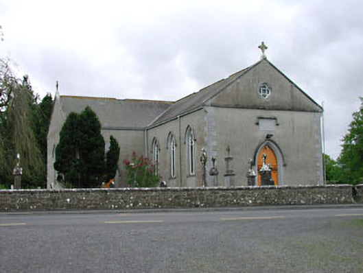 Saint Mary's Catholic Churchchurch/chapel · 615 yd
 European BeechEuropean Beech · 1.2 mi
 Green CastleCastle, unclassified · 1.2 mi
 Zip WireHeritage attraction · 1.4 mi
 European YewEuropean Yew · 1.4 mi
 Seafin HillMountain / peak · 1.7 mi
 C11Named rock · 2.1 mi
 Carnbane WestMountain / peak · 2.2 mi