What is recorded here
Visible on aerial photographs (GSIAP: M 472-3) and situated on an undulating landscape. A grass-covered area of about 14 acres (c. 6 ha) containing relict earth and stone field boundaries which create irregularly rectangular fields (dims c. 50m x 50-100m). One field wall has truncated cashel (RO047-035001-) and the field walls are likely to post-date this monument, but there is no evidence of settlement sites or lazy-bed cultivation associated with the fields.
Compiled by: Michael Moore
Date of upload: 24 August 2010
The monument record does not grant public access. Check the route and ask the landowner before entering private land.
- What survives
- Recorded monument
Places near here
 IndicatedField boundary · 905 yd
 Field system in Carrowmore (athlone North By.)Field system · 1049 yd
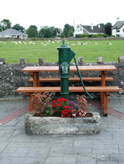 water pumpwater pump · 1.6 mi
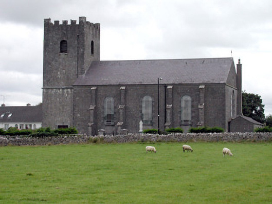 Saint Joseph's Catholic Churchchurch/chapel · 1.6 mi
 Inch IslandIsland · 1.9 mi
 CastleCastle, unclassified · 2.2 mi
 Inchnaveague IslandIslet · 2.4 mi
 Killeglan CastleCastle, unclassified · 4.5 mi
 Sheep HillMountain / peak · 5.1 mi
 LismoneyForest · 5.9 mi
 Aughrane WoodsForest · 6.2 mi
 Mount MaryMountain / peak · 9.3 mi