
Places near here
Photo credits
- National Inventory of Architectural Heritage
- Mike Searle, Wikimedia Commons · CC BY-SA 2.0
- Individual drone photographer not stated on club gallery, milltowngaagalway.ie
- Facebook, Wikimedia Commons · CC BY-SA 4.0
- Picture: x.com
- Willow, Wikimedia Commons · CC BY 2.5
- Andreas F. Borchert, Wikimedia Commons · CC BY-SA 4.0
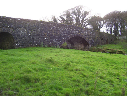 Liskeevy BridgeBridge · 453 yd
Explorer Tom Liskeevy Bridge once watched a man drop his trousers trying to impress a fish, and it still snorts about it. It’s got…
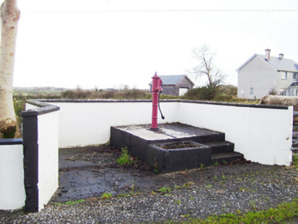 water pump592 yd
Explorer Tom Water pump in Liskeevy would introduce itself as ‘the local celebrity with a thirst quenching side hustle’ if it could…
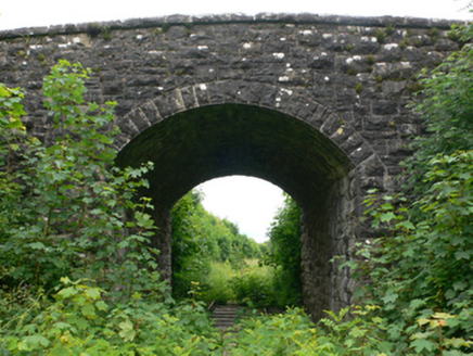 bridge627 yd
Explorer Tom Liskeevy Bridge thinks tourists from Dublin are all talk and no walk, judging by the way it stands there. It’s sat over…
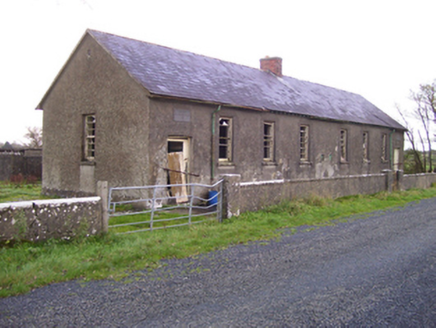 Brooklawn National SchoolSchool · 1.1 mi
Explorer Tom Brooklawn National School would say in a job interview that it’s 'experienced' because it’s been standing since the…
 Fartamore Castle (ruins)Castle · 1.3 mi
Explorer Tom Fartamore Castle is in ruins, which means it’s officially allowed to look a bit messy without anyone complaining about…
 Fartamore Castle in ruinsCastle, tower house · 1.3 mi
Explorer Tom Fartamore Castle in ruins has a family tree that’s mostly made up, but the name does suggest some serious flatulence…
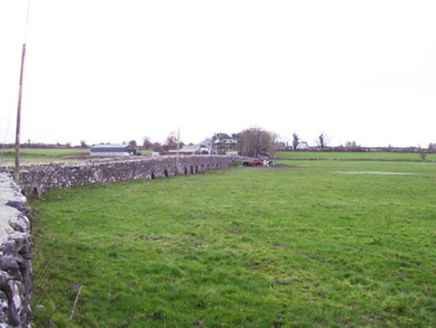 Fartamore BridgeBridge · 1.4 mi
Explorer Tom Fartamore Bridge is the longest lard in Galway, stretching out across the floodplain like it’s trying to reach the…
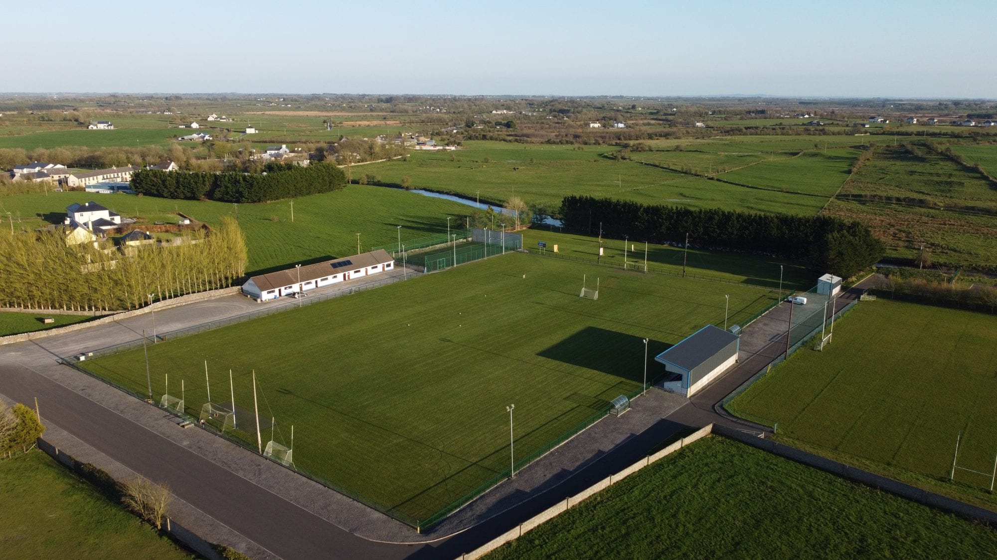 Milltown GAAGAA ground · 1.6 mi
 Milltown BridgeBridge · 1.6 mi
Explorer Tom Milltown Bridge has a family tree mostly made up of uncles who never showed up to dinner. It’s one of the larger…
 Kilconly GAAGAA ground · 2.8 mi
 European ash4.0 mi
Explorer Tom European ash remembers when the builder was thinking about putting a swing here but decided against it because of the…
 Cloigtheach (Round Tower)Round tower · 4.1 mi
Explorer Tom Cloigtheach (Round Tower) in Pollacorragune is standing guard like a very tired bouncer. It's got a high doorway…
More archaeology and monuments in County Galway · All of County Galway

What do you know about this place?Tap to add a comment or ask a question