
What is recorded here
From the National Monuments Service (Archaeological Survey of Ireland) record RO022-074
Places near here
Photo credits
- National Inventory of Architectural Heritage
- Maker not stated on source page, irishheritagenews.ie
- Maker not stated on source page, www.thejournal.ie
- Tulsk GAA club website; individual photographer not stated, www.tulskgaa.ie
- Dan Clohessy / INPHO, www.roscommonherald.ie
- Maker not stated on source page, www.flickr.com
- Willow, Wikimedia Commons · CC BY 2.5
- Algirdas at Lithuanian Wikipedia, Wikimedia Commons · Public domain
- Sawyer777, Wikimedia Commons · CC BY-SA 4.0
- Gillaween, Wikimedia Commons · CC BY-SA 4.0
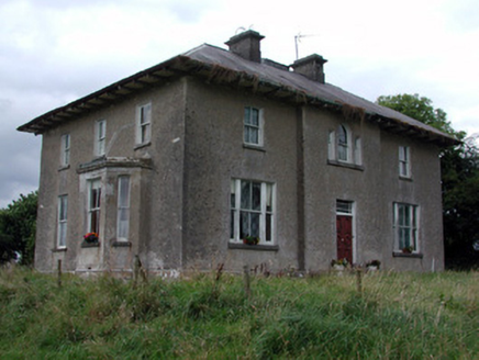 Rossmore HouseHouse · 1.2 mi
Explorer Tom Rossmore House in Ross More East has been arguing about whether it’s Georgian or Victorian, which is honestly the most…
 Fairy fort / earthen ringfort in Carrigeenagappul (roscommon By.)Fairy fort / earthen ringfort · 1.3 mi
Explorer Tom Fairy fort / earthen ringfort in Carrigeenagappul is towards the top of a north-facing slope, looking like a circle…
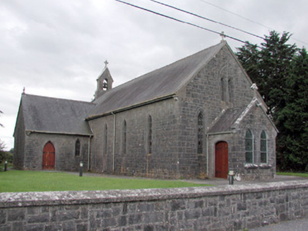 Saint Catherine's Catholic ChurchChurch/chapel · 1.3 mi
Explorer Tom Saint Catherine's Catholic Church in Cloonyquin has stained glass windows that are simple but punchy enough to light up…
 Fairy fort / earthen ringfort in DrinaunFairy fort / earthen ringfort · 1.9 mi
Explorer Tom Fairy fort in Drinaun sits right on the ridge watching Annaghmore Lough, probably waiting for a prophecy that’s been…
Fairy fort / earthen ringfort in Annaghmore (roscommon By.)Fairy fort / earthen ringfort · 2.1 miExplorer Tom Fairy fort / earthern ringfort in Annaghmore refuses to fall down, even though it's mostly just mud and stubbornness.…
 Tulsk Lord Edwards GAAGAA ground · 2.8 mi
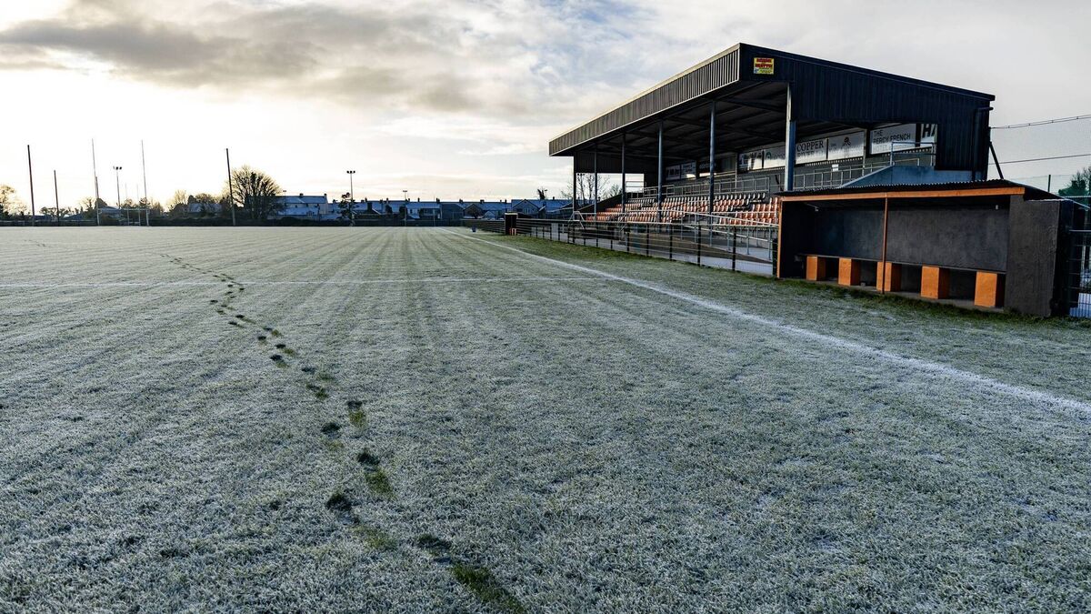 Orchard Park, Elphin GAAGAA ground · 2.9 mi
 TombTomb, unclassified · 3.0 mi
Explorer Tom Tomb in Tulsk belongs to Frances Gardiner, who has been buried since 1679 and looks tired about it. Her family tree is…
 European ash3.8 mi
Explorer Tom European ash in County Roscommon has been the subject of some wild prophecies that never actually came true, which is…
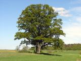 Pedunculate Oak4.3 mi
Explorer Tom Pedunculate Oak in County Roscommon is being claimed by a local who swears he invented it back in his youth, which is a…
 Queen Medb: RathcroghanLegend location · 4.4 mi
Explorer Tom Queen Medb: Rathcroghan is where the Táin starts turning a quarrel about a bull into an epic. Medb had a royal seat…
 The Mórrígan: OweynagatLegend location · 4.6 mi
Explorer Tom The Mórrígan: Oweynagat is called the Cave of Cats, which fooled me into expecting a very ordinary sort of trouble.…
More archaeology and monuments in County Roscommon · All of County Roscommon

What do you know about this place?Tap to add a comment or ask a question