What is recorded here
Visible on aerial photographs (ACAP V227/29,30), and situated on a steep NW-facing slope. A series of earthen banks (Wth 4m; H 0.05-0.2m) extend WNW-ESE (L c. 300m) over an area of 8 ha (c. 20 acres). They are crossed intermittently by a NE-SW field banks, which are probably part of the same pre-modern field system and create fairly large fields (dims c. 150m x c. 80m).
Compiled by: Michael Moore
Date of revised upload: 25 May 2015
The monument record does not grant public access. Check the route and ask the landowner before entering private land.
- What survives
- Recorded monument
Places near here
 Enclosure in BallytrasnaEnclosure · 1329 yd
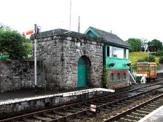 Boyle Railway Stationsignal box · 1714 yd
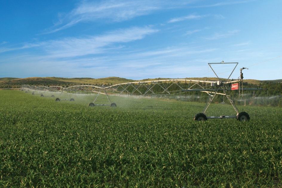 Field system in Ballytrasna,cashelfinoge OR LugnamuddaghField system · 1.1 mi
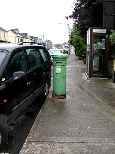 Historic buildingOfficially recorded historic building · 1.2 mi
 King William MemorialMonument · 1.3 mi
 Boyle AbbeyHeritage attraction · 1.4 mi
 Erris BayBay · 2.7 mi
 Moylung Castle (in ruins)Castle, unclassified · 2.8 mi
 Bingham IslandIslet · 2.8 mi
 Lough Key Forest ParkWood · 2.9 mi
 Battle of Curlew PassMajor battlefield · 3.1 mi
 Battle of the Curlew Mountains (1599)Battlefield · 3.1 mi