What is recorded here
Situated on a fairly level landscape in the area to the N of Kilmore church (ME043-0043----). Relict fields covering about 10.5 ha (c. 27 acres) are visible on an oblique aerial photograph (CUCAP: APE 5). The fields tend to be circular (diam. c. 60-80m) and are defined by low banks (Wth 3-4m; H 0.4-0.6m) and scarps (H c. 0.5m). A relict road (Wth c. 10m) extends N-S at the E edge of the fields. Much of the area, particularly at its E edge has been ploughed since 1995 (OSAP).
The above description is derived from the published 'Archaeological Inventory of County Meath' (Dublin: Stationery Office, 1987). In certain instances the entries have been revised and updated in the light of recent research.
Compiled by: Michael Moore
Date of revision: 26 August 2019
The monument record does not grant public access. Check the route and ask the landowner before entering private land.
- What survives
- Recorded monument
Places near here
 Church (Disused)Church · 244 yd
 CrossCross, Churchyard cross · 261 yd
 MullaghMountain / peak · 1583 yd
 Delanys FortFairy fort / earthen ringfort · 1.4 mi
 1798 MemorialMemorial · 1.7 mi
 Larchil Arcadian GardensHeritage attraction · 1.7 mi
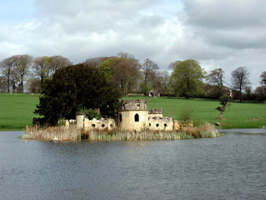 Larchill Housefolly · 2.0 mi
 CastleCastle, motte · 2.1 mi
 Mulhussy CastleCastle, tower house · 2.4 mi
 Kilgar GardensHeritage attraction · 3.3 mi
 Lismahon 1798 MemorialMonument · 4.2 mi
 European ashEuropean ash · 4.7 mi