What is recorded here
Clarkstown holds a faded ringfort where cultivation ridges now cross ancient earth. The ground rises slightly against a gentle slope, preserving a rectangular shadow of a larger circular fort. Humans may have lived inside that temporary boundary before farm work softened the memory.
Situated on a gentle N-facing slope. A subcircular embanked enclosure (ext. dims c. 30m NW-SE; c. 25m NE-SW) is depicted on the 1836 edition of the OS 6-inch map where it is described as a ‘Fort’, and it is depicted as a hachured feature on the 1912 edition. This is a slightly raised rectangular and grass-covered area (dims 22m N-S; 20m E-W) defined by a slight scarp (at W: Wth 1.1m; H 0.45m; at E: Wth 2.2m; H 0.7m) with slight traces of a fosse (Wth c. 1m). The monument is overlain by ENE-WSW cultivation ridges and it was probably a rath, but an original entrance is not identified.
The above description is derived from the published 'Archaeological Inventory of County Meath' (Dublin: Stationery Office, 1987). In certain instances the entries have been revised and updated in the light of recent research.
Compiled by: Michael Moore
Date of revision: 26 August 2019
The monument record does not grant public access. Check the route and ask the landowner before entering private land.
- What survives
- Recorded monument
Places near here
 CrossCross, Churchyard cross · 1300 yd
 Church (Disused)Church · 1309 yd
 EnclosureEnclosure, large enclosure · 1.4 mi
 MullaghMountain / peak · 1.4 mi
 Larchil Arcadian GardensHeritage attraction · 1.4 mi
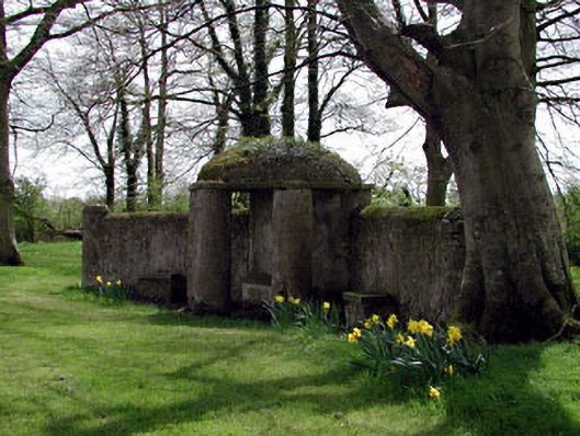 Larchill Housefolly · 1.8 mi
 1798 MemorialMemorial · 2.1 mi
 Mulhussy CastleCastle, tower house · 2.5 mi
 Kilgar GardensHeritage attraction · 2.6 mi
 Rodanstown fortCastle, motte · 3.1 mi
 European ashEuropean ash · 3.9 mi
 Saint Oliver Plunkett 1625-1681Memorial · 4.6 mi