What is recorded here
Regular pattern of rectilinear cropmarks, some perpendicular to each other, visible in aerial photographs (CASAP, July 1989). Cropmarks cover area of c. 6ha and indicate relict field system; largest complete field measures c. 100m x c. 100m.
The above description is derived from the published 'Archaeological Inventory of County Cork. Volume 4: North Cork' (Dublin: Stationery Office, 2000). In certain instances the entries have been revised and updated in the light of recent research.
Date of upload/revision: 14 January 2009
The monument record does not grant public access. Check the route and ask the landowner before entering private land.
- What survives
- Recorded monument
Places near here
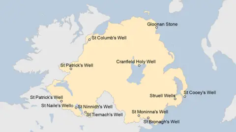 Holy well in KilluraghHoly well · 871 yd
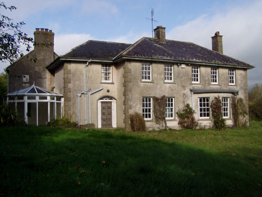 The Glenhouse · 878 yd
 IndicatedKiln, lime · 1056 yd
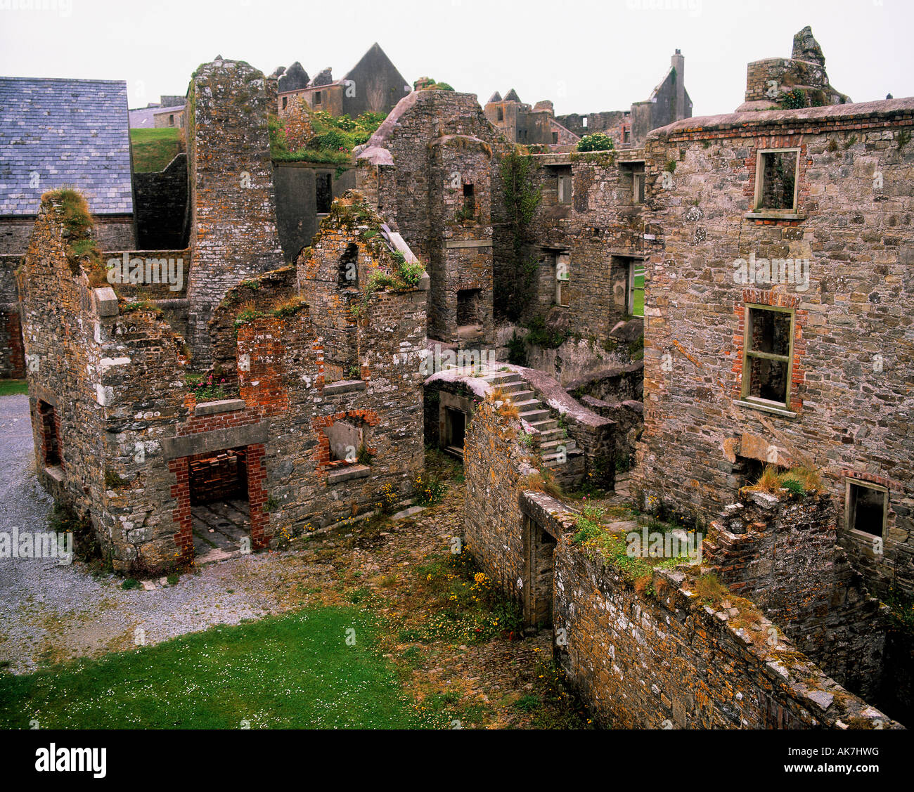 Enclosure in KillissaneEnclosure · 1231 yd
 Monanimy CastleCastle, tower house · 1.6 mi
 Killavullen CavesCave · 1.7 mi
 Cave in BallymacmoyCave · 1.7 mi
 Carrig Castle (in Ruins)Castle, tower house · 1.9 mi
 Killavuleen LOOPVisitor information · 2.0 mi
 Anne's Grove GardensHeritage attraction · 3.2 mi
 Lover's LeapCliff · 4.6 mi
 Lover' LeapCliff · 4.7 mi