What is recorded here
Kilcooly’s hidden square fields sit entangled with the old church enclosure, their wide moats and eastern pond suggesting a forgotten workshop where flax soaked and rotted before becoming cloth. The geometry is too deliberate for casual farming, yet human hands shaped every line. What remains is a ghost of labour, preserved only because rain and root depth still trace the marks no longer visible.
Located on a fairly level landscape. Aerial photographs (CUCAP: AYM 15; BDU 49) show the cropmark of 4 small square fields (dims c. 40m N-S; c. 25m E-W) defined by wide fosse or moat features (Wth c. 2-4m) covering about 2-3 acres (c. 1 ha) close to church (ME036-015----). The cropmark of a large pond (diam. c. 30m) is attached at the E side and the fields may be connected with the retting of flax. The fields are entangled with the outer two enclosing elements of the ecclesiastical enclosure (ME036-015002-) associated with Kilcooley church (ME036-015----) which is c. 50m to the ESE at the closest point.
The above description is derived from the published 'Archaeological Inventory of County Meath' (Dublin: Stationery Office, 1987). In certain instances the entries have been revised and updated in the light of recent research.
Compiled by: Michael Moore
Date of revision: 5 July 2019
The monument record does not grant public access. Check the route and ask the landowner before entering private land.
- What survives
- Recorded monument
Places near here
 Church in Kilcooly (navan Upper By.)Church · 122 yd
 IndicatedEnclosure · 811 yd
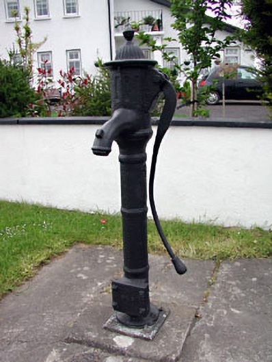 water pumpwater pump · 1.0 mi
 St Peters WellHoly well · 1.0 mi
 CastleCastle, motte · 1.4 mi
 Trubley CastleCastle, tower house · 1.4 mi
 Small-leaved ElmSmall-leaved Elm · 2.0 mi
 Wych ElmWych Elm · 2.0 mi
 Candle HillMountain / peak · 8.6 mi
 MullaghMountain / peak · 9.2 mi
 Larchil Arcadian GardensHeritage attraction · 9.7 mi
 Kilgar GardensHeritage attraction · 9.8 mi