What is recorded here
In a fairly level area in pasture on Inishmore or Deer Island in the Fergus Estuary. A series of disused, low, grassed-over field boundaries forming irregular fields, some with evidence of ridge and furrow cultivation are visible on Google Earth imagery (3 November 2025).
Compiled by: Mary Tunney
Date of upload: 25 November 2025
The monument record does not grant public access. Check the route and ask the landowner before entering private land.
- What survives
- Recorded monument
Places near here
 Enclosure in Inishmore OR Deer IslandEnclosure · 601 yd
 Enclosure in Coney IslandEnclosure · 1050 yd
 Church (in Ruins)Church · 1135 yd
 Gull RockNamed rock · 1312 yd
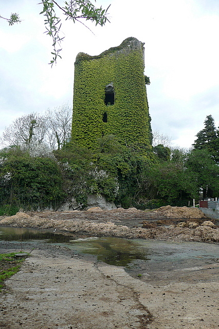 Dangan CasttleCastle · 1.8 mi
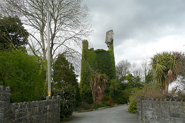 Dangan Castle (in Ruins)Castle, tower house · 1.8 mi
 Fort Fergusgate lodge · 1.8 mi
 Feenish PointHeadland · 2.0 mi
 Peadar Mac Fhlannchadha MemorialMemorial · 4.4 mi
 Shannon Airport Aviation GalleryMuseum · 4.7 mi
 Tummera LittleIslet · 5.3 mi
 Killone AbbeyHeritage attraction · 6.4 mi