
What is recorded here
In the NW corner of a field in a fairly level area in pasture at the NE end of Inishmore or Deer Island in the Fergus Estuary and just c. 20m from the shoreline. A subcircular enclosure (diam. c. 55m) defined by a low grassed-over bank. Visible on Google Earth imagery (3 November 2022). Noted by Hugh Carey.
Compiled by: Mary Tunney
Date of upload: 25 November 2025
The monument record does not grant public access. Check the route and ask the landowner before entering private land.
- What survives
- Recorded monument
Places near here
 Gull RockNamed rock · 902 yd
 Enclosure in Coney IslandEnclosure · 1160 yd
 Church (in Ruins)Church · 1585 yd
 Feenish PointHeadland · 1.8 mi
 Fort Fergusgate lodge · 1.9 mi
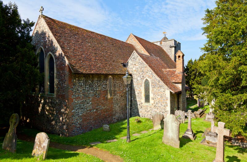 St Martins WellHoly well · 1.9 mi
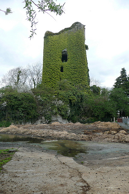 Dangan CasttleCastle · 1.9 mi
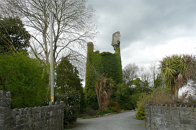 Dangan Castle (in Ruins)Castle, tower house · 1.9 mi
 Shannon Airport Aviation GalleryMuseum · 4.6 mi
 Peadar Mac Fhlannchadha MemorialMemorial · 4.7 mi
 Tummera LittleIslet · 5.6 mi
 Killone AbbeyHeritage attraction · 6.1 mi
Other information
Photo: Credit not shown in the picture search · Rights wording not checked; contact us if this picture should be removed