What is recorded here
Located on a gently undulating landscape. A grass-covered relict field system covering about 3.5 ha (c. 8.5 acres) is visible most clearly on Google Earth (28/01/2017; 16/03/2021) but is also visible on other dates and on other series of images. The fields are small (dims c. 40m x c. 30m) and appear to be defined by ditches (Wth c. 5-7m). An ENE-WSW linear feature (Wth c. 10-12m; L c. 250m) through the centre of the fields and defined by ditches on either side could be a roadway, but no houses are positively identified. It was first reported by Jean Charles Caillére.
See the attached enhanced view from Google Earth (28/01/2018)
Compiled by: Michael Moore
Date of upload: 11 October, 2021
The monument record does not grant public access. Check the route and ask the landowner before entering private land.
- What survives
- Recorded monument
Places near here
 Enclosure in Cookstown (ratoath By., Cookstown Par.)Enclosure · 922 yd
 Enclosure in Rath (ratoath By., Cookstown Par.)Enclosure · 1096 yd
 Church (in Ruins)Church · 1425 yd
 CastleCastle, unclassified · 1.0 mi
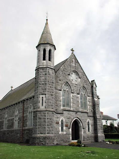 Saint Andrew's Catholic Churchchurch/chapel · 1.2 mi
 Bawn in KilleglandBawn · 1.3 mi
 Cornstown HouseHeritage attraction · 1.9 mi
 Emerald ParkHeritage attraction · 2.0 mi
 Lemur WoodWood · 2.1 mi
 Newtown HillMountain / peak · 2.3 mi
 AshbourneMemorial · 2.5 mi
 Newtown GorseWood · 2.9 mi