What is recorded here
Faint cropmarks on aerial photograph (GB96.FX.21) adjactent to enclosure (CW012-196001-)
suggest an associated field system.
Compiled by: Dr. Gillian Barrett for the Archaeological Survey of Ireland.
Date of upload: 1 February 2012
The monument record does not grant public access. Check the route and ask the landowner before entering private land.
- What survives
- Recorded monument
Places near here
 CrossCross, High cross · 86 yd
 Killogan GraveyardEcclesiastical enclosure · 95 yd
 Graveyard in ClonmelshGraveyard · 754 yd
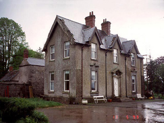 Garryhundon Househouse · 823 yd
 Saint John's Church (Nurney)church/chapel · 1.4 mi
 Common LimeCommon Lime · 1.9 mi
 Graveyard in Tomard Lower (3 Detached Portions)Graveyard · 2.2 mi
 Graiguealug Castle in ruinsCastle, unclassified · 2.7 mi
 Graiguenaspiddoge Castle in ruinsCastle, tower house · 3.1 mi
 Sweet ChestnutSweet Chestnut · 4.0 mi
 Carlow County MuseumMuseum · 4.6 mi
 Carlow CastleRuined medieval castle · 4.6 mi