
What is recorded here
Situated on a level landscape that slopes down slightly to the N. An unmapped field system of small rectangular or square fields (dims c. 25m x c. 25m) defined by the cropmarks of ditches is visible on oblique aerial photographs (CUCAP: BGN 013-14) from 1971. They are also visible, although less distinct, on aerial…
Read the whole record
From the National Monuments Service (Archaeological Survey of Ireland) record ME045-019
Places near here
Photo credits
- Maker not stated on source page, www.pinterest.com
- Maker not stated on source page, storage.googleapis.com
- Kmcnamee, Wikimedia Commons · CC BY-SA 4.0
- National Inventory of Architectural Heritage
- Maker not stated on source page, www.flickr.com
- Maker not stated on source page, au.pinterest.com
- Garry Dickinson, Geograph · CC BY-SA 2.0
- Maker not stated on source page, www.ireland.com
- David Medcalf, Geograph · CC BY-SA 2.0
- Delatorre, Wikimedia Commons · CC BY-SA 3.0
 Fairy fort / earthen ringfort in Boolies (dunboyne By.)Fairy fort / earthen ringfort · 935 yd
Explorer Tom Fairy fort / earthen ringfort in Boolies witnessed a love story where the couple broke up because one liked the bank…
 Fairy fort / earthen ringfort in Ballymacoll Little,caulstown (dunboyne By.)Fairy fort / earthen ringfort · 1.0 mi
Explorer Tom Fairy fort / earthen ringfort in Ballymacoll Little is a shortcut that goes nowhere useful. You walk around it thinking…
 Fairy fort / earthen ringfort in Herbertstown (dunboyne By.)Fairy fort / earthen ringfort · 1.4 mi
Explorer Tom Fairy fort in Herbertstown is a circular cropmark that looks like it started because two lads bet each other they could…
 Kilbride GAAGAA ground · 1.6 mi
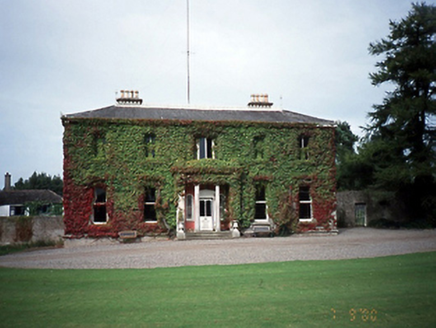 Tyrrelstown HouseCountry house · 3.7 mi
Explorer Tom Tyrrelstown House in Tyrrelstown is an 1820s country estate with a nap rendered Ionic portico that looks like it just…
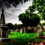 Graveyard in Cloghran (castleknock By.)Graveyard · 4.6 mi
Explorer Tom Graveyard in Cloghran started as a bet between two lads in the pub who dared each other to build it on a quarried edge…
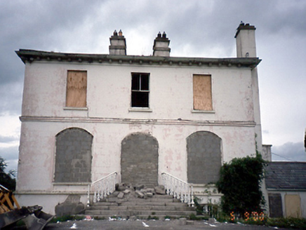 Phibblestown HouseHouse · 4.6 mi
Explorer Tom Phibblestown House in Castaheany is shoring up its ground floor openings like it’s bracing for a very long, boring…
 CastleCastle, unclassified · 4.8 mi
Explorer Tom Castle in Cloghran is no longer visible, but they found some old coins when they levelled the rath next door. It’s a…
 Skreen CastleCastle · 9.7 mi
Explorer Tom Skreen Castle is being picked on by the wind because it has a tower that leans just enough to be suspicious. The breeze…
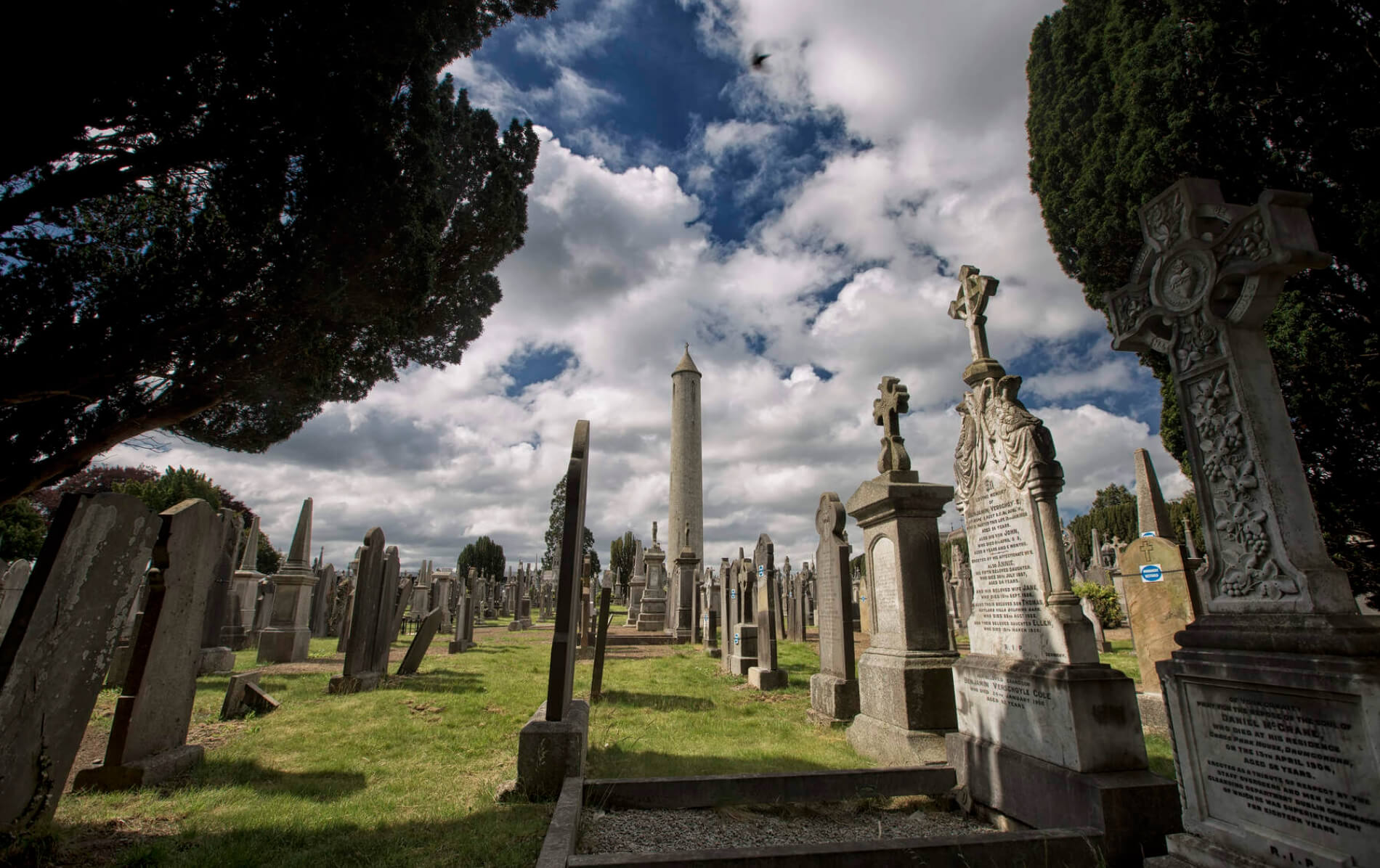 Graveyard in BaldonganGraveyard · 14 mi
Explorer Tom Graveyard in Baldongan is sitting on a hilltop refusing to fall down because it thinks gravity is just a suggestion for…
 Lambay HarbourBeach / strand · 16 mi
Explorer Tom Lambay Harbour in County Dublin is where the rabbits hold their council meetings to decide which boats they dislike…
 Lambay IslandIsland · 17 mi
Explorer Tom You see an island and start planning a landing? Easy there, skipper. Lambay Island is close enough to Dublin to tempt…
More archaeology and monuments in County Meath · All of County Meath

What do you know about this place?Tap to add a comment or ask a question