What is recorded here
Situated in a large field of pasture on the southern outskirts of Quin village and some 500m S of Quin Friary (CL042-027002-). An ancient field system visible on a Google Earth aerial photograph (taken 5 February 2009, accessed 4 March 2015). The field system includes a large D-shaped enclosure (c. 85m NE-SW; c. 80m NW-SE) with its straight side at NW. A subrectangular enclosure (c. 28m NE-SW; c. 22m NW-SE) is attached at the NE corner and a roadway skirts the E portion of the D-shaped enclosure. The monuments are also visible on Bing maps at http://binged.it/1BcFuju.
Compiled by: Mary Tunney
Date of upload: 4 March 2015
The monument record does not grant public access. Check the route and ask the landowner before entering private land.
- What survives
- Recorded monument
Places near here
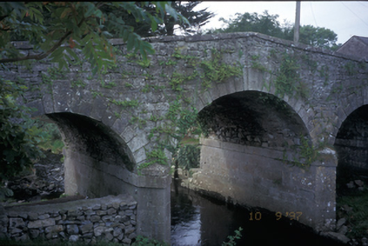 Quin Bridgebridge · 612 yd
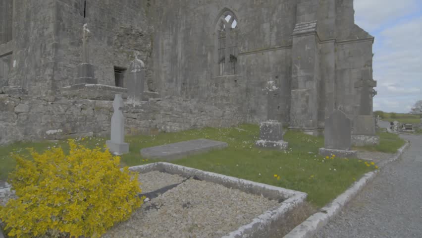 Wall monument in QuinWall monument · 659 yd
 Quin AbbeyHeritage attraction · 673 yd
 IndicatedEcclesiastical enclosure · 743 yd
 ToberinneenboyHoly well · 805 yd
 Danganbrack Castle (in Ruins)Castle, tower house · 1142 yd
 Ballymarkahan CastleCastle · 1.2 mi
 Mooghaun HillfortArchaeological place · 2.3 mi
 Mooghaun WoodsWood · 2.5 mi
 Cloghleagh RockNamed rock · 3.0 mi
 HawthornHawthorn · 3.1 mi
 G.A.A. Commemorative StoneMemorial · 4.5 mi