
What is recorded here
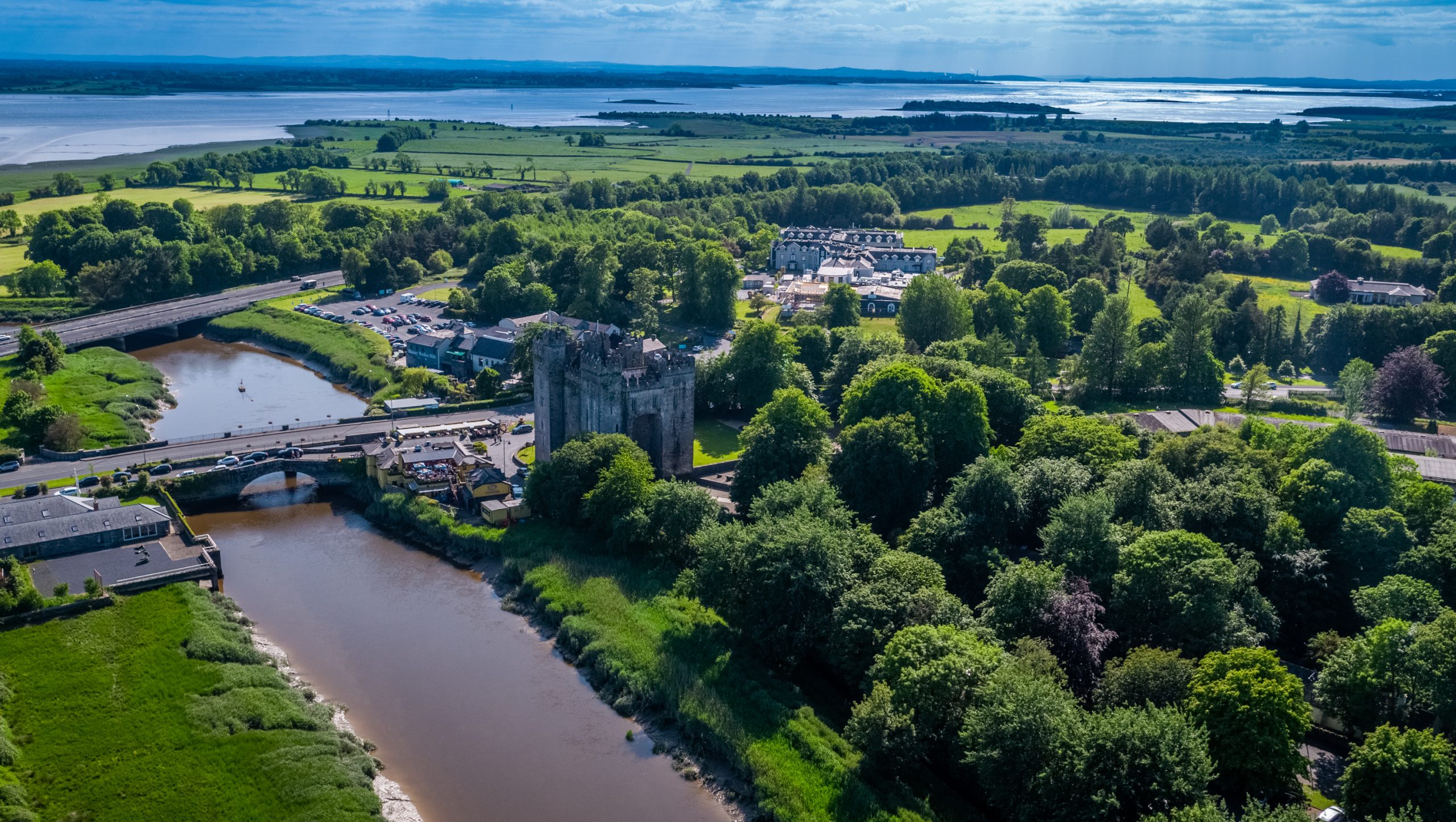
On a natural rocky crag (dims. 34m NW-SE; 25m NE-SW; H 1-1.5m) in a sheltered natural hollow on the S bank of the E-W River Rine. Rectangular ivy-covered structure (ext. dims. 13.8m NW-SE; 9m NE-SW) of four storeys and attic, with a base batter and plinth. There are gables with chimney stacks on each wall, except the NE. The pointed doorway (Wth 1.23m), which is largely destroyed, in the SE wall leads to a lobby (dims 1.4m x 1.4m) protected by a murder hole. A pointed doorway (Wth 0.6m; H 1.9m) leads to a partly ruined guard room (dims. 2.8m NE-SW; 1.62m NW-SE) at NE, and by a pointed doorway (Wth 0.87m; H 2.1m) leads to a spiral stairs at SW. The pointed doorway (Wth 1.3m; H 2.1m) to the ground floor chamber is damaged and set in a damaged rectangular embrasure (Wth 1.4m; H 2.4m). The chamber (int. dims. 8.25m NW-SE; 5.3m NE-SW) has a vaulted roof with wicker centring, and two lights in rectangular embrasures (Wth 1.5m; H 2m) on the SW wall. The NW wall has an inserted fireplace (Wth 2.35m; H 1.6m), while the NE wall is featureless, apart from a slop-stone or chute (Wth 0.4m; H 0.35m) sloping through the wall, and the outlet of a garderobe chute (Wth 1.3m; H 1.15m; D 1m) visible on the outside. The spiral stairs rise to a rectangular room (int. dims. 5m NE-SW; 2.05m; H 2.5m) with a barrel vault and wicker centering over the entrance lobby, which is entered by a pointed doorway (Wth 0.45m; H 1.45m). There are lights in the NE and SE walls and at the E angle. The upper levels are inaccessible, but the windows appear to have been rectangular, the largest ones on the SW wall, and there are machicolations at each angle but there was no wall walk or parapet.
Compiled by: Leo Morahan and Michael Moore
See attached document with details from Risteárd Ua Cróinín and Martin Breen, The Castles and Tower-houses of Co. Clare (unpublished report). Uploaded courtesy of R. Ua Cróinín and M. Breen.
Date of upload: 11 December 2014
Danganbrack Castle was likely built in the 15th or 16th century by a local Gaelic lord or Anglo-Norman family, reflecting the turbulent political landscape of the time. Its strategic location on a rocky crag near the River Rine suggests it was important for regional defense and control of surrounding lands.
The monument record does not grant public access. Check the route and ask the landowner before entering private land.
- What survives
- Recorded monument
Places near here
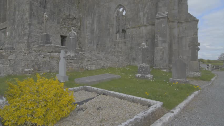 Wall monument in QuinWall monument · 932 yd
 Quin AbbeyHeritage attraction · 944 yd
 Quin Abbey ( in ruins)Religious house, Franciscan friars · 948 yd
 ToberinneenboyHoly well · 979 yd
 IndicatedEcclesiastical enclosure · 1044 yd
 Ballymarkahan CastleCastle · 1.4 mi
 Toonagh Castle (Site of)Castle, unclassified · 1.9 mi
 The RingfortHeritage attraction · 2.4 mi
 Cloghleagh RockNamed rock · 2.5 mi
 Mooghaun WoodsWood · 3.1 mi
 HawthornHawthorn · 3.7 mi
 G.A.A. Commemorative StoneMemorial · 4.9 mi
Other information
Photo: Credit not shown in the picture search · Rights wording not checked; contact us if this picture should be removed