What is recorded here
An aerial photograph (GB89.AA.29) shows the cropmark of three conjoined rectilinear enclosures each defined by a fosse. The central enclosure has an entrance facing E.
Compiled by: Jean Farrelly
Date of upload: 26 August 2011
The monument record does not grant public access. Check the route and ask the landowner before entering private land.
- What survives
- Recorded monument
Places near here
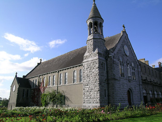 Rockwell Collegechurch/chapel · 709 yd
 Bawn in Carrigeen (knockgraffon Par.)Bawn · 1446 yd
 IndicatedHouse, 17th century · 1458 yd
 Enclosure in Carron (st. John Baptist Par.)Enclosure · 1575 yd
 RathnadovCeremonial enclosure · 1.0 mi
 Bawn in GarranleaBawn · 1.3 mi
 Athassel PrioryHeritage attraction · 3.7 mi
 Hore AbbeyHeritage attraction · 3.8 mi
 Caucasian zelkovaCaucasian zelkova · 5.2 mi
 Cappa WoodWood · 6.0 mi
 SturrakeenMountain / peak · 8.2 mi
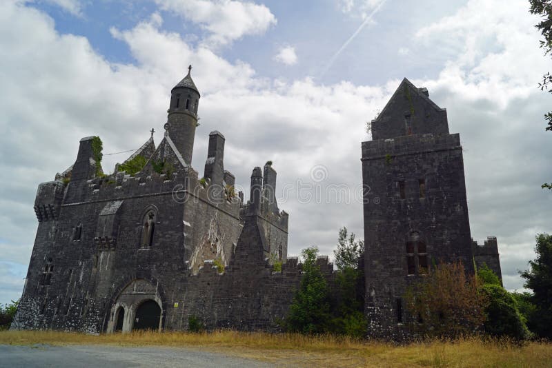 Enclosure in Templenoe (killeenasteena Par.)Enclosure · 1.2 mi