
What is recorded here
From the National Monuments Service (Archaeological Survey of Ireland) record ME015-100
Places near here
Photo credits
- Maker not stated on source page, www.irishamericanmom.com
- Maker not stated on source page, www.gaia.com
- Maker not stated on source page, www.knowth.com
- Maker not stated on source page, en.wikipedia.org
- Maker not stated on source page, www.dreamstime.com
- Maker not stated on source page, www.1stdibs.com
- National Inventory of Architectural Heritage
 Fairy fort / earthen ringfort in DunnagorranFairy fort / earthen ringfort · 43 yd
Explorer Tom Fairy fort in Dunnagorran hears every whisper that happens inside its walls and then repeats them back louder, which…
 Fairy fort / earthen ringfort in HamlinstownFairy fort / earthen ringfort · 1265 yd
Explorer Tom Fairy fort / earthen ringfort in Hamlinstown is locked in a bitter feud with the rain right now. It’s getting moody…
Fairy fort / earthen ringfort in Pigotstown,stirrupstownFairy fort / earthen ringfort · 1344 ydExplorer Tom Fairy fort / earthen ringfort in Pigotstown, Stirrupstown is sloping down to the south-east like it’s trying to slide…
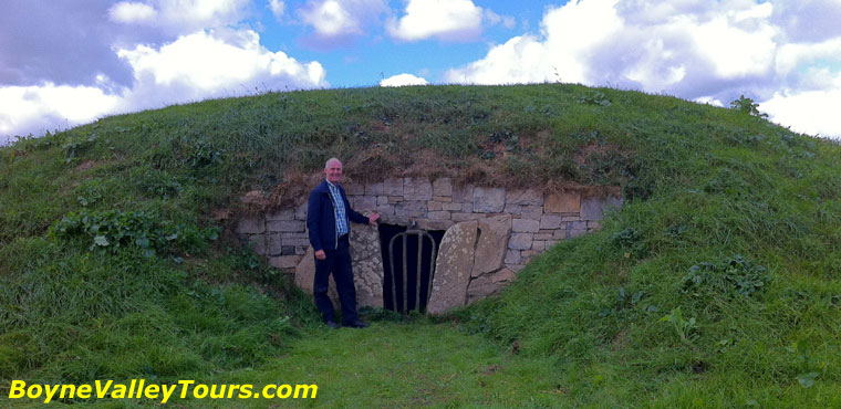 Enclosure in SeraghstownEnclosure · 1634 yd
Explorer Tom Enclosure in Seraghstown has a lifelong feud with the rain because every drop feels personally offensive to its tiny…
 Enclosure in DiamorEnclosure · 1.2 mi
Explorer Tom Enclosure in Diamor was where a priest once lost a bet over a horse he didn’t own. It’s a big rectangular patch of…
 TombTomb, chest tomb · 1.3 mi
Explorer Tom Tomb in Bobsville started as a bet between two lads who swore they’d build the fanciest grave in Meath. Oliver Plunkett…
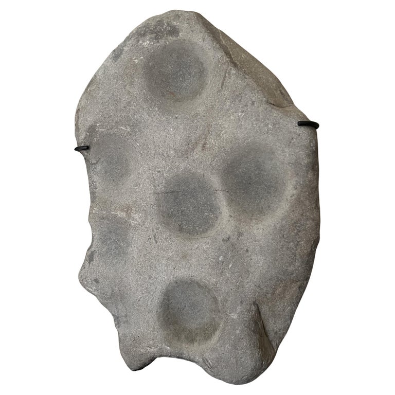 Cupmarked stone in BobsvilleCupmarked stone · 1.3 mi
Explorer Tom Cupmarked stone in Bobsville would tell any interviewer it has excellent references from the Bronze Age. It’s got…
 Martinstown BridgeBridge · 1.4 mi
Explorer Tom Martinstown Bridge in County Meath has a bitter feud with the rain and refuses to budge an inch. The ashlar masonry is…
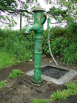 water pump1.4 mi
Explorer Tom Water pump in Ardglassan was used for smuggling tea when the taxes were high. It’s got foliate decoration now, so it’s…
 worker's house1.4 mi
Explorer Tom Worker’s house in Ardglassan is part of a terrace that looks like it was built for a very serious estate worker drama…
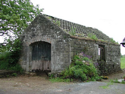 forge/smithy1.4 mi
Explorer Tom Forge or smithy in Ardglassan is a bit of a texture nerd, mixing rubble walls with fancy ashlar surrounds and a brick…
 seat/bench1.5 mi
Explorer Tom Seat or bench in Ardglassan is a curved wrought-iron beast that’s currently hiding from everyone because the vegetation…
More archaeology and monuments in County Meath · All of County Meath

What do you know about this place?Tap to add a comment or ask a question