What is recorded here
Located on the S-facing slope of a low E-W ridge. The house (ME053-011----) and possible bawn (ME043-011001-) were at the N edge of a field system that covered about 30 acres (c. 7.5 ha). The fields were rectangular (dims c. 60-100m x c. 40m) defined by earthen banks and silted drains, with some hollow ways (Wth c. 4-5m; D 0.5m) between the field banks. All the earthwork remains were removed c. 2013 (Bing).
The above description is derived from the published 'Archaeological Inventory of County Meath' (Dublin: Stationery Office, 1987). In certain instances the entries have been revised and updated in the light of recent research.
Compiled by: Michael Moore
Date of revision: 10 June 2016
The monument record does not grant public access. Check the route and ask the landowner before entering private land.
- What survives
- Recorded monument
Places near here
 IndicatedBawn · 80 yd
 Church (in Ruins)Church · 170 yd
 Fulacht fia in ArodstownFulacht fia · 1204 yd
 CastleCastle, unclassified · 1225 yd
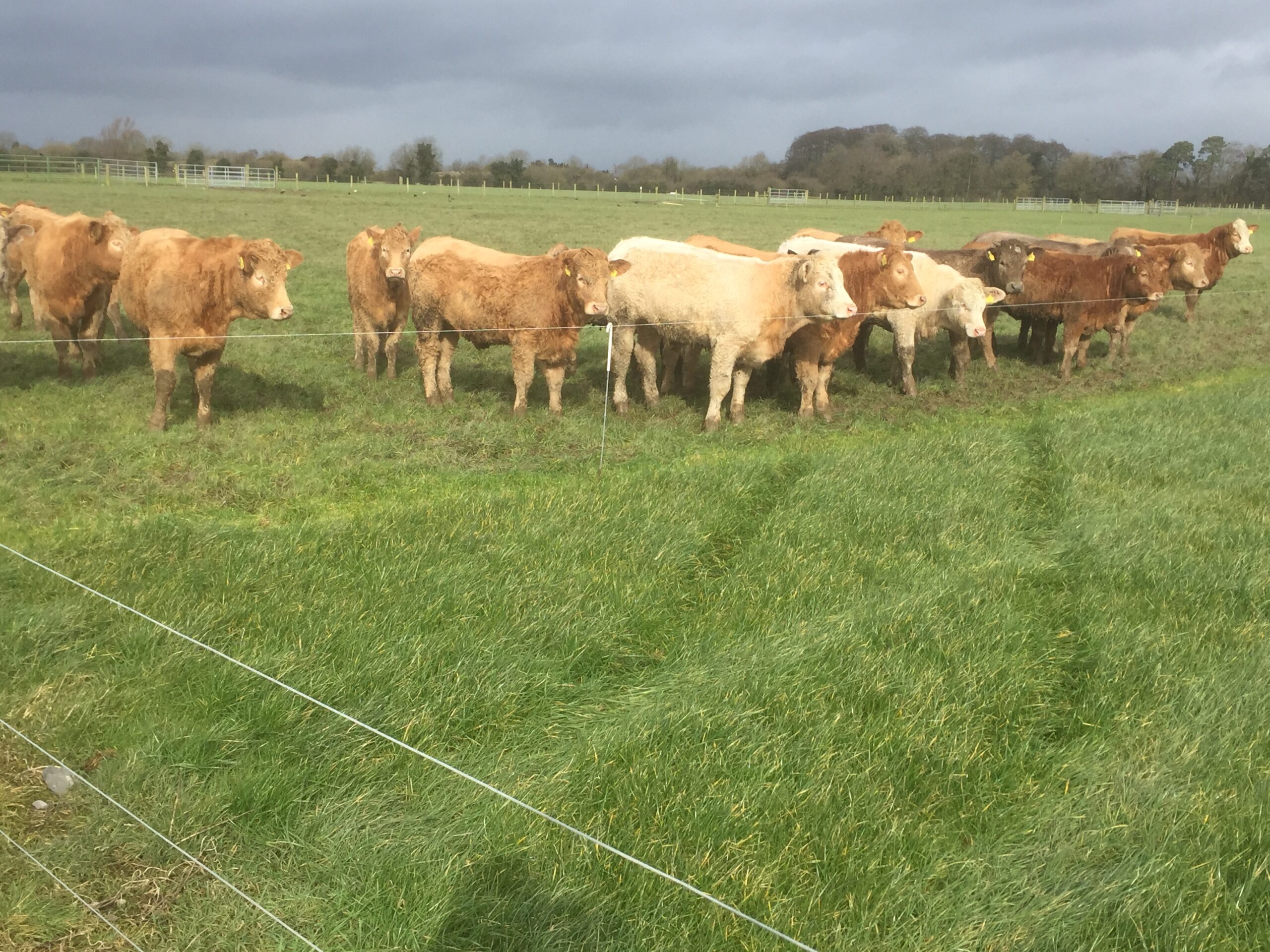 Derrypatrick RathEnclosure · 1649 yd
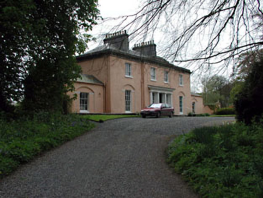 Galtrim Housecountry house · 1.5 mi
 Railway Woods (North)Forest · 2.5 mi
 Dunsany WoodWood · 2.7 mi
 MullaghMountain / peak · 3.5 mi
 1798 MemorialMemorial · 4.2 mi
 Larchil Arcadian GardensHeritage attraction · 4.3 mi
 Kilgar GardensHeritage attraction · 5.2 mi