What is recorded here
Flat Meath grass hides a hundred-metre grid of straight drains, aligned beneath the modern fields like a ghost drawn in water. A circular enclosure sits nearby, its shadow visible only when crops grow unevenly, while a stone-lined section confirmed the boundary as post-medieval rather than ancient magic. The land still moves water along paths laid down by hands long forgotten, turning ordinary farmland into a layered archive of patience.
Situated in a fairly level landscape. An oblique aerial photograph (CUCAP: AYS058) from 1969 shows the cropmark of a circular enclosure (ME038-001----). At S a leat leads S to connect with the cropmark of an E-W drain of a rectangular field system. The fields are large (dims c. 100m x c. 100m) defined by straight drains that are roughly aligned with the present field system. Excavation (E003092) of a section of a NW-SE feature of the field system revealed that it had a stone-lined drain at its base and is post-medieval in date. (Wiggins et al. 2009; 2010)
The above description is derived from the published 'Archaeological Inventory of County Meath' (Dublin: Stationery Office, 1987). In certain instances the entries have been revised and updated in the light of recent research.
Compiled by: Michael Moore
Date of upload: 10 July 2007
Amended: 13 April 2022
The monument record does not grant public access. Check the route and ask the landowner before entering private land.
- What survives
- Recorded monument
Places near here
 Enclosure in Ross (skreen By., Skreen Par.)Enclosure · 181 yd
 Font in Collierstown (skreen By.)Font · 1472 yd
 The Pond WoodWood · 1647 yd
 Clusker Wood NorthWood · 1656 yd
 CastleCastle, motte · 1.1 mi
 Skreen CastleCastle, tower house · 1.2 mi
 ChapelChurch · 1.2 mi
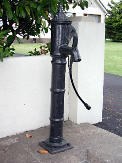 water pumpwater pump · 1.3 mi
 Candle HillMountain / peak · 1.8 mi
 Battle of Tara Hillbattle · 1.9 mi
 Battle of Tara (Ireland)Major battlefield · 1.9 mi
 Tara Open StudioGallery · 1.9 mi