What is recorded here
Situated in the valley of a NW-SE stream, on the SW bank. Archaeological testing (03E1395) of an extensive area (dims c. 200m E-W; c. 150m N-S) in advance of development identified numerous pits, gullies and furrows that are part of a field system of 17th or 18th century date, most of which would be preserved under green areas (McLoughlin 2006a). Further testing (06E0187) confirmed the extent and date of the fields but the burnt mound (WX040-097002-), a possible mill-race (WX040-097005-) and other features (WX040-097004-) also came to light (McLoughlin 2006b).
Compiled by: Michael Moore
Date of upload: 19 February, 2013
The monument record does not grant public access. Check the route and ask the landowner before entering private land.
- What survives
- Recorded monument
Places near here
 Water millWater mill, unclassified · 27 yd
 Burnt spread in ClongeenBurnt spread · 83 yd
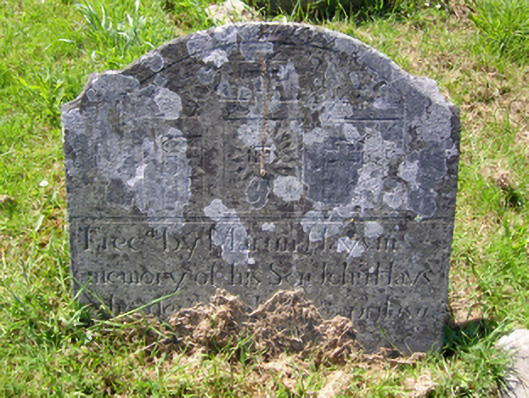 graveyard/cemeterygraveyard/cemetery · 146 yd
 St. Edans WellHoly well · 385 yd
 Coolcliffe HouseRuins · 1.4 mi
 CastleCastle, tower house · 1.4 mi
 Bryanstown Ho.Castle, tower house · 1.5 mi
 Lockheed Hudson AM885 MemorialMemorial · 3.5 mi
 Carrig-On-BannowVisitor information · 4.3 mi
 1798 MemorialMemorial · 4.3 mi
 Blackhall StrandBeach / strand · 5.8 mi
 Bridges ChamberCave · 5.8 mi