
What is recorded here
Located in the valley of a small NW-SE stream. Archaeological testing (06E0187) in advance of development c. 120m S and SW of the parish church of Clongeen (WX040-027001-) identified a number of features including a linear ditch (Wth 4m; D 0.9-1.3m) running E-W (L c. 125m) (McLoughlin 2006b, addendum), which was further tested (06E0834) leading to the conclusion that it may have been a mill-race, although no structure of a mill was recorded (Purcell 2009).
Compiled by: Michael Moore
Date of upload: 19 February, 2013
The monument record does not grant public access. Check the route and ask the landowner before entering private land.
- What survives
- Recorded monument
Places near here
 Burnt spread in ClongeenBurnt spread · 59 yd
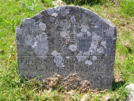 graveyard/cemeterygraveyard/cemetery · 152 yd
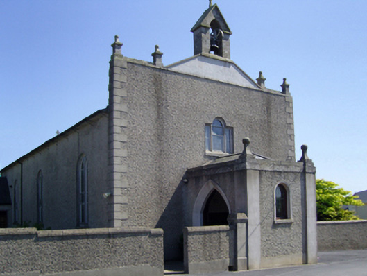 Saint Edan's Catholic Churchchurch/chapel · 168 yd
 St. Edans WellHoly well · 408 yd
 Coolcliffe HouseRuins · 1.4 mi
 CastleCastle, tower house · 1.4 mi
 Bryanstown Ho.Castle, tower house · 1.5 mi
 Lockheed Hudson AM885 MemorialMemorial · 3.5 mi
 Carrig-On-BannowVisitor information · 4.3 mi
 1798 MemorialMemorial · 4.3 mi
 Blackhall StrandBeach / strand · 5.8 mi
 Bridges ChamberCave · 5.8 mi
Other information
Photo: Credit not shown in the picture search · Rights wording not checked; contact us if this picture should be removed