What is recorded here
Situated on the SW bank of a NW-SE stream. Archaeological testing (06E0187) in advance of development uncovered a layer of burnt stone and charcoal-rich clay (L c. 14m; T 0.1m) lying directly on subsoil beneath c. 0.2-0.3m of topsoil (McLoughlin 2006b, 7-8). This was further investigated (06E0834) and appears to have been an area where limestone was crushed and shattered with heat, perhaps preparatory to inclusion in a lime-kiln (Purcell 2009).
Situated on the SW bank of a NW-SE stream. Archaeological testing (06E0187) in advance of development uncovered a layer of burnt stone and charcoal-rich clay (L c. 14m; T 0.1m) lying directly on subsoil beneath c. 0.2-0.3m of topsoil (McLoughlin 2006b, 7-8). This was further investigated (06E0834) and appears to have been an area where limestone was crushed and shattered with heat, perhaps preparatory to…
From the National Monuments Service (Archaeological Survey of Ireland) record WX040-097002
The monument record does not grant public access. Check the route and ask the landowner before entering private land.
- What survives
- Recorded monument
Places near here
Photo credits
- National Inventory of Architectural Heritage
- Mike Searle, Geograph · CC BY-SA 2.0
- Oliver Dixon, Geograph · CC BY-SA 2.0
- Andreas F. Borchert, Wikimedia Commons · CC BY-SA 4.0
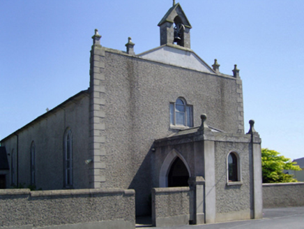 Saint Edan's Catholic ChurchChurch/chapel · 144 yd
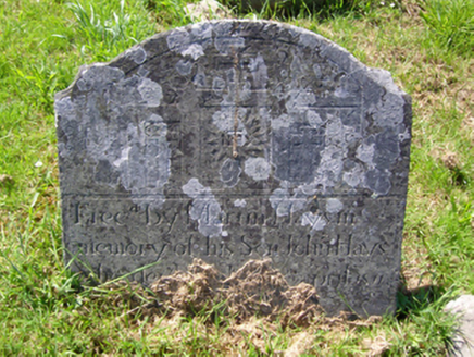 graveyard/cemetery148 ydSt. Edans WellHoly well · 436 ydCoolcliffe HouseRuins · 1.3 mi
 Black Castle (in ruins)Castle, tower house · 2.3 mi
 IndicatedBawn · 2.4 miLockheed Hudson am885 MemorialMemorial · 3.5 mi
 Blackhall StrandBeach / strand · 5.8 mi
 Windmill5.8 mi
 Cullenstown StrandBeach / strand · 5.8 mi
 Keeragh IslandsIsland · 6.9 mi
 Baginbun HeadHeadland · 8.9 mi
More archaeology and monuments in County Wexford · All of County Wexford
What do you know about this place?