What is recorded here
A possible circular or D-shaped enclosure was identified on aerial photograph (GSI June 1973 S.84/3/2) immediately SW of the church (TN023-030002-) which may have been part of a field system associated with the medieval church and castle (TN023-030001-) at Clonakenny. There are a number of old field banks immediately SW of the church but these do not form any particular pattern. Likely that a field lying so close to a medieval church, rectangular enclosure (TN023-030003-) and tower house and bawn (TN023-030001-) would have remnants of medieval settlement.
Compiled by: Jean Farrelly and Caimin O'Brien
Date of upload/revision: 27 January 2012
The monument record does not grant public access. Check the route and ask the landowner before entering private land.
- What survives
- Recorded monument
Places near here
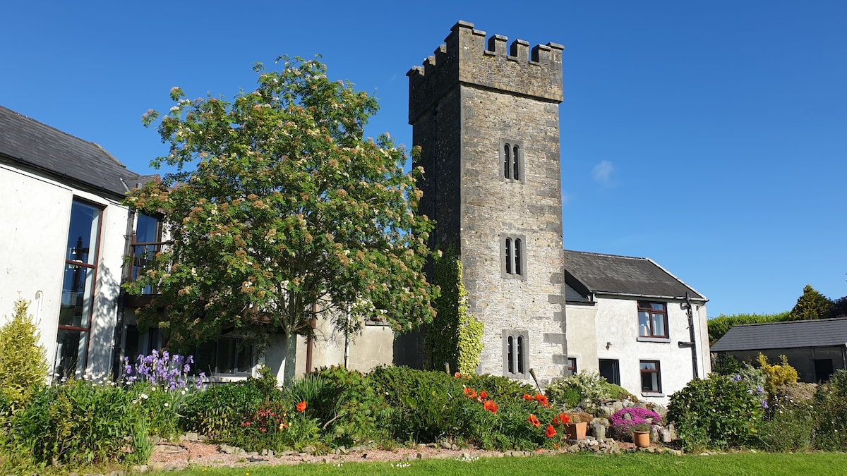
 Castle (in ruins)House, fortified house · 162 yd
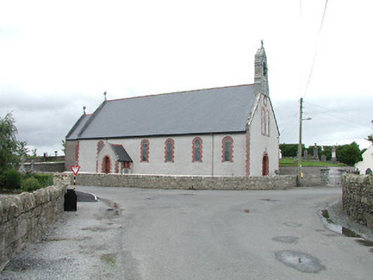 Saint Brigid's Catholic Churchchurch/chapel · 250 yd
 Enclosure in ClonakennyEnclosure · 552 yd
 IndicatedEnclosure, large enclosure · 1625 yd
 Longford WoodForest · 1.4 mi
 Fortescuecottage ornee · 1.5 mi
 OutlinedCastle, Anglo-Norman masonry castle · 2.1 mi
 College HillMountain / peak · 3.0 mi
 Black HillMountain / peak · 3.8 mi
 Carricknasrock WoodWood · 4.3 mi
 Thomas MacDonagh Heritage CentreMuseum · 10.0 mi
 MacDonagh HouseMemorial · 10 mi