What is recorded here
Listed as a 'settlement' in the SMR (1986) and as a 'deserted settlement' in the RMP (1995) based on aerial photographic evidence (J.K.S. St. Joseph AYP 44, GSI O 88/89/90 (1973)). On a gentle W-facing slope with steeper ground to the E. This is a small field in a post-AD 1700 settlement. Not visible at ground level.
Compiled by: Matt Kelleher
Date of upload: 29 November 2012
The monument record does not grant public access. Check the route and ask the landowner before entering private land.
- What survives
- Recorded monument
Places near here
 Enclosure in LisheensEnclosure · 275 yd
 Enclosure in Kilbride (talbotstown Lower By.)Enclosure · 511 yd
 Rock WoodForest · 658 yd
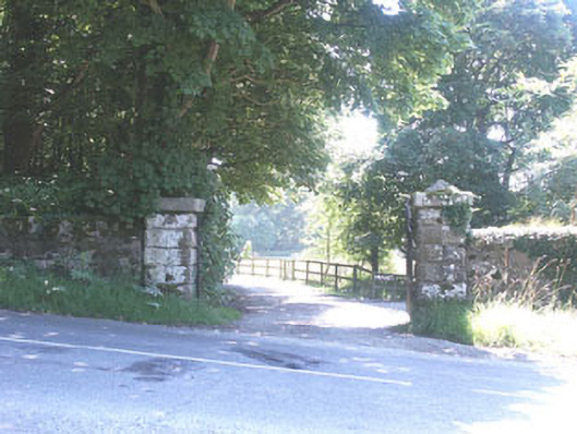 The Manorhouse · 1187 yd
 Church in Kilbride (talbotstown Lower By.)Church · 1447 yd
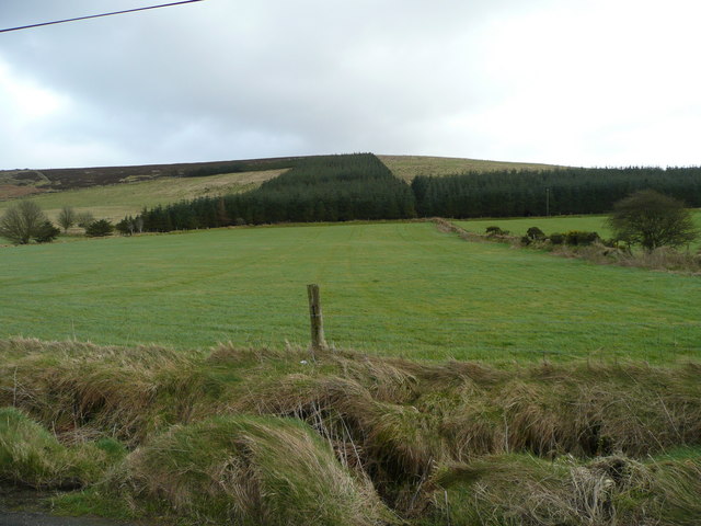 Butter MountainMountain / peak · 1.8 mi
 Cupidstown HillMountain / peak · 1.9 mi
 CastleCastle, tower house · 2.3 mi
 OldcourtMemorial · 2.4 mi
 Site of CastleCastle, unclassified · 2.4 mi
 Kilteel WoodWood · 3.5 mi
 The Square RenewalMemorial · 4.1 mi