What is recorded here
In level pasture 170m E of Ahanaload River. Associated with an enclosure (LI022-046----), immediate W of large enclosure (LI022-188----) and 60m N of a second field system (LI022-239----). Identified from aerial photograph labelled Bruff 51 (AP 4/3747) as a fragmented pattern of rectilinear and curvilinear cropmarks. Outline of field system clearly visible on OSi orthophotos taken 2005-12. Visible as a regular pattern of rectilinear cropmarks located to the S and E of enclosure (LI022-046----) on Google Earth orthoimage taken 06/02/2018.
See attached photocopy of Bruff Aerial Survey and Google Earth orthoimage
Compiled by: Martin Fitzpatrick
Date of upload: 7 August 2020
The monument record does not grant public access. Check the route and ask the landowner before entering private land.
- What survives
- Recorded monument
Places near here
 Enclosure in Fanningstown (smallcounty By.)Enclosure · 239 yd
 Enclosure in Boherload,carnaneEnclosure · 593 yd
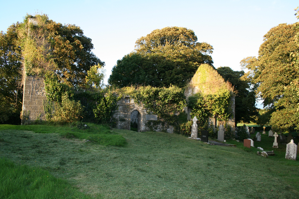
 Church (in ruins)Church · 820 yd
 Boherload Househouse · 871 yd
 ToberauillinSpring · 1223 yd
 Bawn in Raheen (clanwilliam By., Roxborough Ed)Bawn · 1465 yd
 Partially indicatedBawn · 1620 yd
 Carnane RockNamed rock · 1674 yd
 Villiers WellSpring · 2.1 mi
 Skool HillMountain / peak · 2.3 mi
 Monasteranenagh AbbeyHeritage attraction · 5.4 mi
 European ashEuropean ash · 6.9 mi