What is recorded here
Boherload and Fanningstown share a hidden field system where the Ahanload River cuts through wet pasture. Linear and curvilinear marks still appear in aerial images, suggesting people once shaped that slope before memory faded. A ringfort waits one hundred seventy metres east, guarding the quiet boundary between two townlands.
On a slight E-facing slope, in low, wet pasture, straddling either side of the Ahanload River, which marks the townland boundary between Boherload and Fanningstown. Ringfort (LI022-047----) 170m to E. Not depicted on OSi historic mapping. Identified as a field system on Bruff Survey aerial photographs (Bruff 51: AP4/3747). Monument is visible as an irregular-shaped area containing linear and curvilinear cropmarks on Digital Globe orthophotos taken 2011-13 and on Google Earth orthoimages taken 06/02/2018.
See attached Bruff Survey aerial photograph and Google Earth orthoimage
Compiled by: Alison McQueen and Vera Rahilly
Date of upload: 16 August 2020
The monument record does not grant public access. Check the route and ask the landowner before entering private land.
- What survives
- Recorded monument
Places near here
 Enclosure in Fanningstown (smallcounty By.)Enclosure · 297 yd
 Enclosure in Boherload,carnaneEnclosure · 557 yd
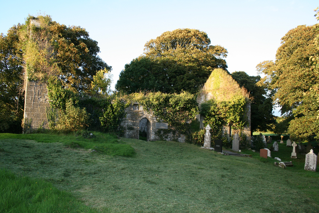
 Church (in ruins)Church · 616 yd
 Boherload Househouse · 1146 yd
 ToberauillinSpring · 1309 yd
 Carnane RockNamed rock · 1381 yd
 Partially indicatedBawn · 1459 yd
 Bawn in Raheen (clanwilliam By., Roxborough Ed)Bawn · 1714 yd
 Villiers WellSpring · 1.9 mi
 Skool HillMountain / peak · 2.2 mi
 Lough GurVisitor information · 5.0 mi
 Grange Stone CircleArchaeological place · 5.1 mi