
What is recorded here
A possible field system visible as a crop mark on Digital Globe orthoimage taken between 2011-13 together with other features including two circular enclosures (DU008-052001- & DU008-0520032-) (SMR file; pers. comm. T. Condit). Geophysical survey by the Discovery Programme LIARI Project, identified a complex mosaic of rectilinear, circular and petal‐shaped enclosures and other features extending over an area of more than 1ha. The layout of these features suggest they are defined by a series of adjoining and overlapping ditches and trenches associated with several phases of land division and possible settlement. The intensity of the magnetic responses exhibited by these features varies considerably, with some particularly strong anomalies likely to relate to ditches that contain significant quantities of burnt (as well as decaying organic) material (Dowling 2013, 14).
See attached Digital Globe orthoimage taken between 2011-13
Compiled by: David O’Connor
Updated by: Christine Baker
Date of upload: 19 December 2014
The monument record does not grant public access. Check the route and ask the landowner before entering private land.
- What survives
- Recorded monument
Places near here
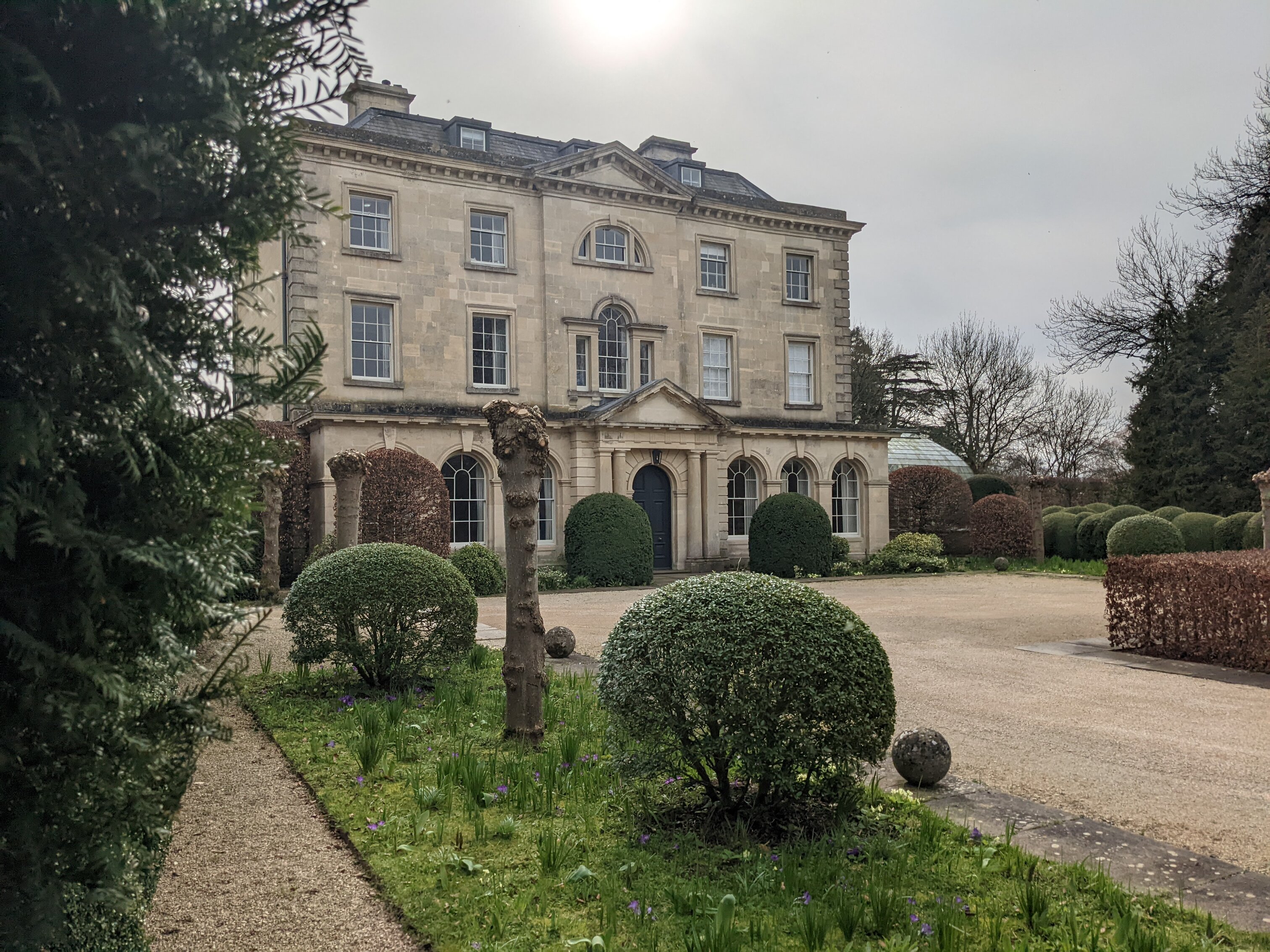 Enclosure in BlacklandEnclosure · 95 yd
 Earthwork in BlacklandEarthwork · 704 yd
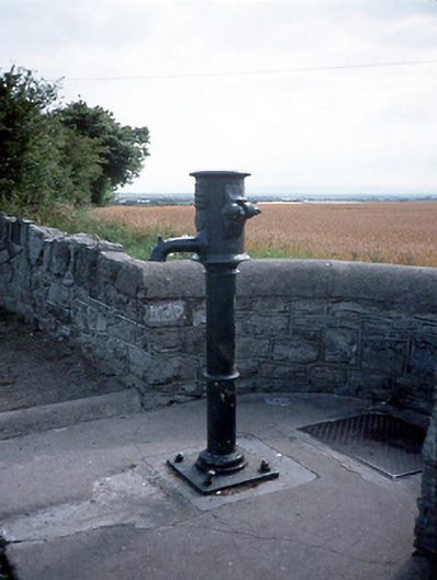 water pumpwater pump · 957 yd
 LoughshinnyVisitor information · 1001 yd
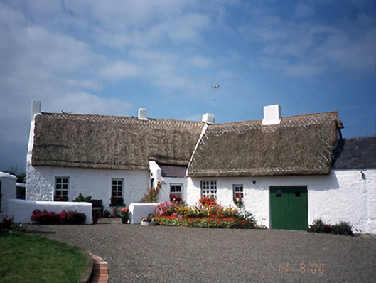 farm housefarm house · 1227 yd
 Castle (in ruins)Castle, Anglo-Norman masonry castle · 1603 yd
 The MillbankVisitor information · 1.6 mi
 Flat cemetery in BalcunninFlat cemetery · 2.1 mi
 Joe’s BridgeMemorial · 2.2 mi
 Rush South BeachBeach / strand · 2.2 mi
 Shenick IslandIslet · 2.3 mi
 Reilly's HillWood · 3.8 mi
Other information
Photo: Credit not shown in the picture search · Rights wording not checked; contact us if this picture should be removed