What is recorded here
Situated on a fairly level landscape. The cropmarks of old field boundaries represented by single ditch features in an area of c. 42 acres (c. 17 ha) are visible on aerial photographs (CUCAP, BOD 74 9; ASIAP (4) 21-25; 29-34). The fields are subrectangular (dims c. 120m x c. 60m) and laid in strips running NW-SE. Some enclosures appear to be related to the fields.
From the National Monuments Service (Archaeological Survey of Ireland) record WX048-041
The monument record does not grant public access. Check the route and ask the landowner before entering private land.
- What survives
- Recorded monument
Places near here
Enclosure in Ballytory UpperEnclosure · 158 yd Ballytory CastleFarm house · 557 ydfarm house562 ydWindmill (Corn) (Disused)Windmill · 1285 ydCastleHouse, fortified house · 1448 ydScargeenIsland · 1.1 miInishIsland · 1.2 miLady's IslandVisitor information · 1.2 miCastleCastle, tower house · 1.7 miWilson's MoorWood · 1.9 miCarne BeachBeach / strand · 2.7 miLifeboat MemorialMemorial · 2.8 mi
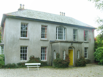 Ballytory CastleFarm house · 557 yd
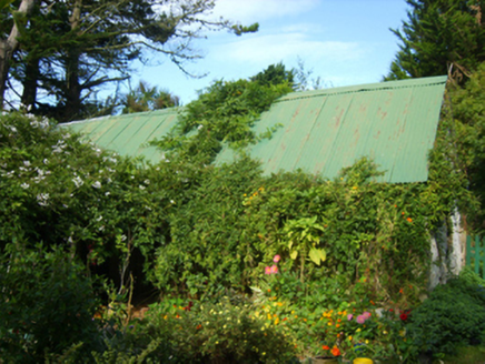 farm house562 yd
 Windmill (Corn) (Disused)Windmill · 1285 ydCastleHouse, fortified house · 1448 ydScargeenIsland · 1.1 miInishIsland · 1.2 miLady's IslandVisitor information · 1.2 mi
 CastleCastle, tower house · 1.7 miWilson's MoorWood · 1.9 mi
 Carne BeachBeach / strand · 2.7 mi
 Lifeboat MemorialMemorial · 2.8 mi
Pictures: National Inventory of Architectural Heritage; DeFacto, Wikimedia Commons · CC BY-SA 4.0; Cozzmick, Wikimedia Commons · CC BY-SA 4.0; User Ali-oops on en.wikipedia, Wikimedia Commons · GFDL; Ojsyork, Wikimedia Commons · CC BY 4.0
More archaeology and monuments in County Wexford · All of County Wexford
What do you know about this place?