
What is recorded here
From the National Monuments Service (Archaeological Survey of Ireland) record MA118-107001
Places near here
Photo credits
- Maker not stated on source page, commons.wikimedia.org
- Maker not stated on source page, www.flickr.com
- Kmcnamee, Wikimedia Commons · CC BY-SA 4.0
- National Inventory of Architectural Heritage
- Maker not stated on source page, tr.pinterest.com
- Ballinrobe GAA Club; individual photographer not stated, www.ballinrobegaaclub.com
- Maker not stated on source page, www.skyscanner.ie
- Golfing in Ireland; photographer not stated, Source publisher
- Maker not stated on source page, www.pinterest.com
 Standing stone in Thomastown (kilmaine By., Kilmainemore Par.)Standing stone · 870 yd
Explorer Tom Standing stone in Thomastown is still fuming after a fox took charge last Tuesday. It thinks the little rascal has been…
 CastleCastle, unclassified · 1319 yd
Explorer Tom Castle in Frenchbrook would tell its job interviewer that it’s great at standing still for long periods of time. It…
 Kilmaine, Kilmaine GAAGAA ground · 1476 yd
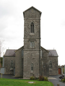 Saint Patrick's Catholic ChurchChurch/chapel · 1613 yd
Explorer Tom Saint Patrick's Catholic Church in Frenchbrook North smells like old paper and regret, according to Tom. The…
 Megalithic structure in Coollisduff (kilmaine By., Kilmolara Par.)Megalithic structure · 1.1 mi
Explorer Tom Megalithic structure in Coollisduff would describe the 1800s as 'a bit dull and full of mud' to a teenager. It’s just…
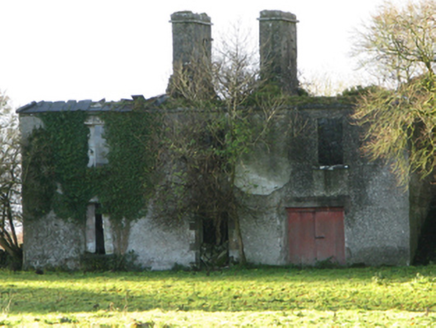 FountainhillFarm house · 1.7 mi
Explorer Tom Fountainhill in Fountainhill is an eighteenth-century farmhouse that has been reduced to ruins by the later twentieth…
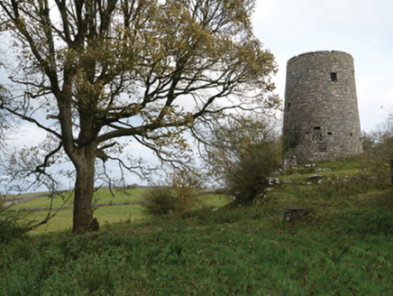 Highwood MillMill (wind) · 2.2 mi
Explorer Tom Highwood Mill in Ardkill is a windmill that forgot how to spin. It nearly became famous when a local claimed it hummed…
 Flanagan Park, Ballinrobe GAAGAA ground · 3.3 mi
 Mocorha Castle in ruinsCastle, tower house · 3.9 mi
Explorer Tom Mocorha Castle thinks modern buildings are for people who can’t handle the beauty of a broken vaulted ceiling. Brian…
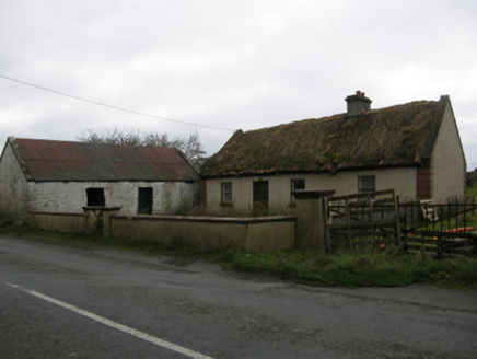 farm house4.3 mi
Explorer Tom Farm house in Dowagh West is stuck in a feud over who owns the best view of the sunset. It’s got that fieldstone…
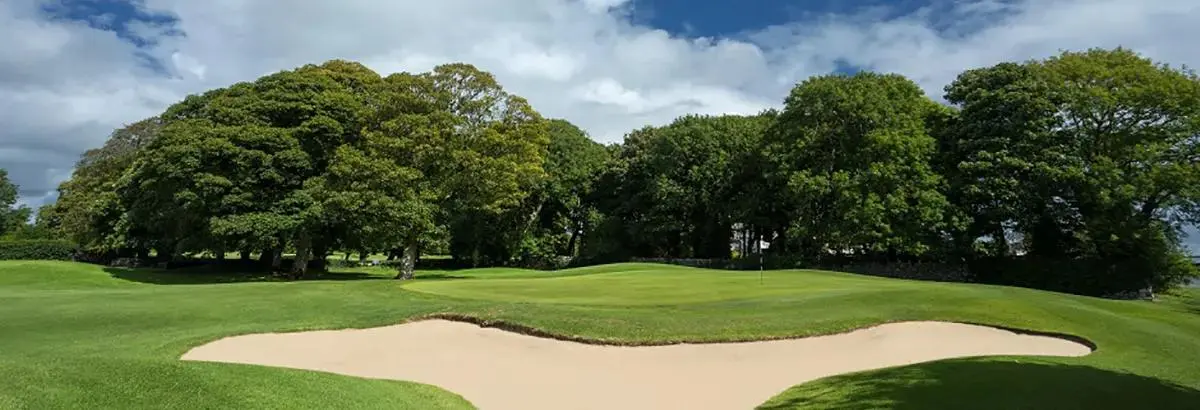 Ballinrobe Golf ClubGolf course · 4.3 mi
 Graveyard in CloonsheenGraveyard · 5.6 mi
Explorer Tom Graveyard in Cloonsheen claims there is a hidden tunnel leading straight to the local pub for late-night services.…
More archaeology and monuments in County Mayo · All of County Mayo

What do you know about this place?Tap to add a comment or ask a question