
What is recorded here
Located on a fairly level landscape. Earthworks of an unmapped rectangular field system are visible on an oblique aerial photograph (CUCAP: AVT 094) from 1968 and on Google Earth (01/06/2020). They cover an area of about 30 acres (c. 12 ha). A concentrated area (dims c. 160m N-S; c. 140m E-W) is divided into small…
Read the whole record
From the National Monuments Service (Archaeological Survey of Ireland) record ME050-019
Places near here
Photo credits
- Maker not stated on source page, www.dreamstime.com
- Maker not stated on source page, www.pinterest.com
- Maker not stated on source page, en.wikipedia.org
- Maker not stated on source page, www.neverstoptraveling.com
- Maker not stated on source page, www.wegow.com
- Golfing in Ireland; photographer not stated, Source publisher
- Olivier BEZES, Wikimedia Commons · CC BY 2.5
- C O'Flanagan, Geograph · CC BY-SA 2.0
- DiggingSpace, Wikimedia Commons · CC BY-SA 4.0
- Maker not stated on source page, ie.polomap.com
 Salestown ChurchArchaeological place · 1480 yd
Explorer Tom Salestown Church gave up sugar for Lent, which was a mistake since the stone walls are basically made of hardened…
 Church (in ruins)Church · 1486 yd
Explorer Tom Church in Salestown is perched on a rise and seems to have very strong opinions about modern architecture, judging by…
 CastleCastle, tower house · 1.1 mi
Explorer Tom Castle in Salestown had a bishop who refused to visit because he thought the coffee was too strong and the chairs too…
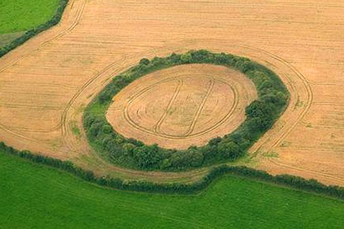 Fairy fort / earthen ringfort in BrownrathFairy fort / earthen ringfort · 1.1 mi
Explorer Tom Fairy fort / earthen ringfort in Brownrath has a New Year's resolution to stop being bisected by field banks. It’s…
 Enclosure in Blackhall LittleEnclosure · 1.8 mi
Explorer Tom Enclosure in Blackhall Little has a curse for anyone who doesn't wave at it first. It’s been squished into an oval…
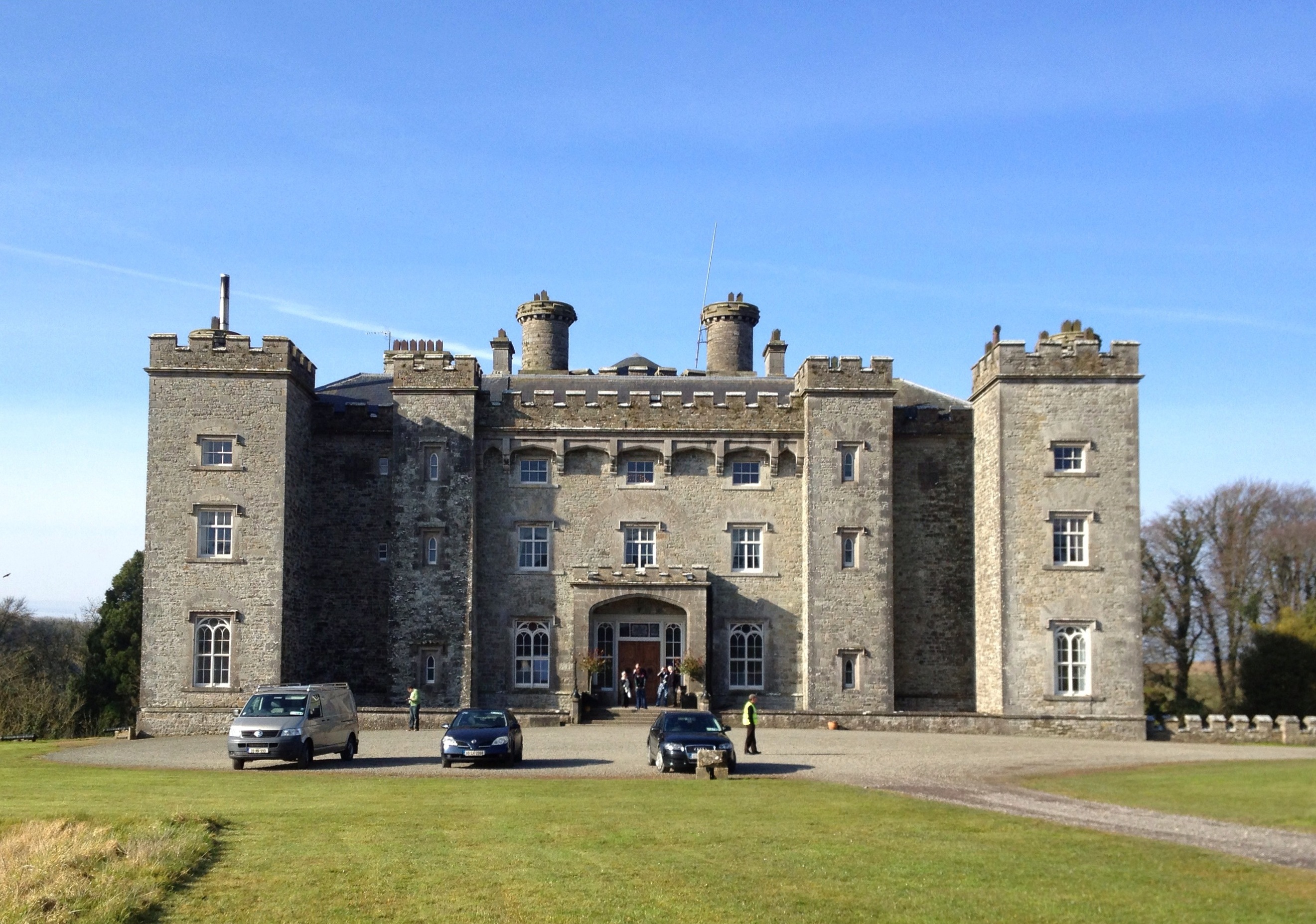 Well in CastlefarmWell · 1.9 mi
Explorer Tom Well in Castlefarm is sitting on a ridge near the Dunboyne link road, probably dreaming of a hidden tunnel that leads…
 Church in VesingstownChurch · 1.9 mi
Explorer Tom Church in Vesingstown is having a serious drama with the nearest tree, who thinks it should be the main attraction.…
 Carton House Golf ClubGolf course · 2.1 mi
 Lebanon Cedar2.1 mi
Explorer Tom Lebanon Cedar in Kildare would tell you it's a senior manager, but its résumé is mostly just standing still since…
 Moygaddy Tower HouseRuins · 2.4 mi
Explorer Tom Moygaddy Tower House has a hidden message in its stones that just says 'Please stop kicking the wall'. The locals say…
 Castletown HouseHeritage attraction · 4.7 mi
Explorer Tom Castletown House had a fox take charge of the kitchen for three days before anyone noticed. Desmond Guinness saved it…
 New Esker CemeteryCemetery · 5.8 mi
Explorer Tom New Esker Cemetery in County Dublin is entirely run by a very serious terrier who barks at anyone who doesn’t have a…
More archaeology and monuments in County Meath · All of County Meath

What do you know about this place?Tap to add a comment or ask a question