
What is recorded here
During monitoring on the Northern Motorway in 2002 a linear field ditch was uncovered. This is located in gently sloping ground. This had steep, concave sides and a concave base (L 42.88m, Wth 1.42m, D 0.7m) and ran E-W. The ditch produced burnt and unburnt animal bone, 100 sherds of medieval and post Medieval pottery and blackberry/raspberry seeds (Chapple 2004, 122-123).
Compiled by: Geraldine Stout
Updated by: Christine Baker
Date of upload: 7 January 2015
The monument record does not grant public access. Check the route and ask the landowner before entering private land.
- What survives
- Recorded monument
Places near here
 Picnic AreaPicnic place · 633 yd
 Ring-ditch in BaldrummanRing-ditch · 752 yd
 Pit in BalloughPit · 798 yd
 KilnKiln, corn-drying · 1595 yd
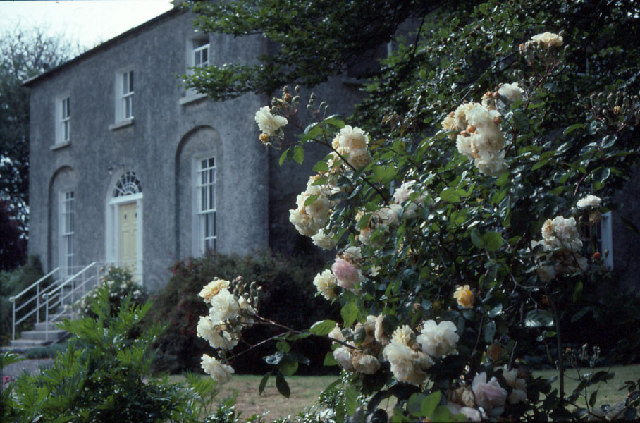 Glebe Houserectory/glebe/vicarage/curate's house · 1.2 mi
 Thomas AsheMemorial · 1.4 mi
 LuskMemorial · 1.8 mi
 CastleCastle, unclassified · 2.1 mi
 Hollywood GreatMountain / peak · 2.7 mi
 Roseville Business ParkVisitor information · 2.9 mi
 Turvey Allotments and Nature ReserveNature reserve · 3.0 mi
 St Kenny's WellSpring · 3.0 mi
Other information
Photo: Credit not shown in the picture search · Rights wording not checked; contact us if this picture should be removed